About Bicycles Online > Bicycle Touring and Trails > Millennium To North Shore
Millennium Trail to North Shore Bike Path
Ride Report and Photos
The eastern end of the Millennium Trail (MT) runs alongside Route 176 in Mundelein. The North Shore Bike Path (NSBP) also runs east and west along Route 176 so I was curious if the 2 trails connected to each other or if you could get to one from the other.
It can be nice to know which trails connect or how you get from one to another when you are planning rides or want to get from one place to another on your bike. 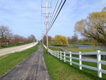
In this case I found that these 2 trails do not connect to each other but you can get to the NSBP from the MT by riding through the town of Mundelein along Hawley St.
This actually means that you can ride from Mundelein to Lake Bluff and get to Lake Michigan or continue on the Robert McClory Trail to Wisconsin or the Green Bay Trail and Evanston Lakefront Trails into Chicago and even make your way downtown Chicago on the Chicago Lakefront Trail. If you like bike riding, this gives you a lot of good options!
I checked this route out on Google Maps first to see how it looked and saw that it looked like there were at least sidewalks all the way. BTW: Google Maps is great to check out new routes by zooming in and using satellite view or by using street view when it is available.
So after checking the route on Google Maps, I decided to check it out first hand and planned my ride on the eastern end of the MT, through the town of Mundelein and to the western end of the NSBP.
The Good and Bad Parts of this Ride
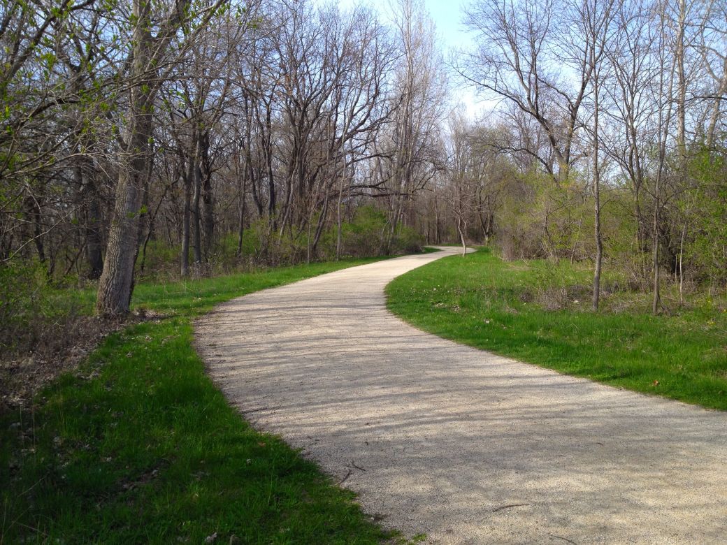
Good: The northeastern part of the Millennium Bike Trail (MT) is scenic and runs through woods, past lakes and through some nice areas.
Not That Good: The eastern end of the trail, starting near Gilmer Road (this ride), runs alongside Route 176 and is not really very scenic. The good part is that this part of the trail is paved and you can cover some miles at a good speed if you like. This section is about 3 miles.
Bad Part: The MT ends at Midlothian Road (at Mundelein HS). From here I took sidewalks mostly through the town of Mundelein. The sidewalks are bumpy and narrow and you have to cross quite a few roads and some busy highways. Hawley St. is a fairly busy road (in rush hour which is when I was there)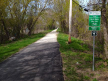 but you may be able to ride on the road in places. I just preferred the sidewalks so I didn't have to deal with traffic. This section is 1.6 miles.
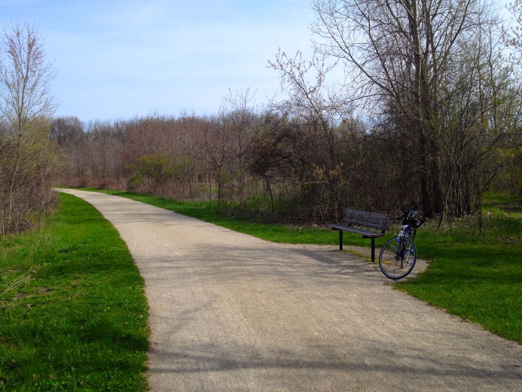
Good Part: Once you get to Carmel Catholic HS you can get off the sidewalks and on to a much nicer bike trail once again. This trail is mostly crushed stone with a few paved sections. Although the trail is parallel to Route 176 it is a little further from the road at this point. This part of the trail is 3.2 miles ~ The entire North Shore Bike Path is 19 miles.
Here is the GPS Map of this ride, on the Garmin Connect site, from the eastern end of the Millennium Trail to Midlothian Road and through Mundelein on the sidewalks alongside Hawley Street.
GPS MAP - Millennium Trail East, thru Mundelein, to North Shore Bike Path
East Millennium Trail Photos
Here's the photos of the eastern side of the Millennium Trail and the start of the ride through Mundelein on the sidewalks. This was not all that scenic so there are not a lot of photos. I did however take a short ride on the Des Plaines River Trail and included view photos from that trail at the end.
To North Shore Bike Path

This is pretty much where I started my ride east on the Millennium Trail at the Country Bumpkin nursery. This is a Gilmer Road and Route 176.
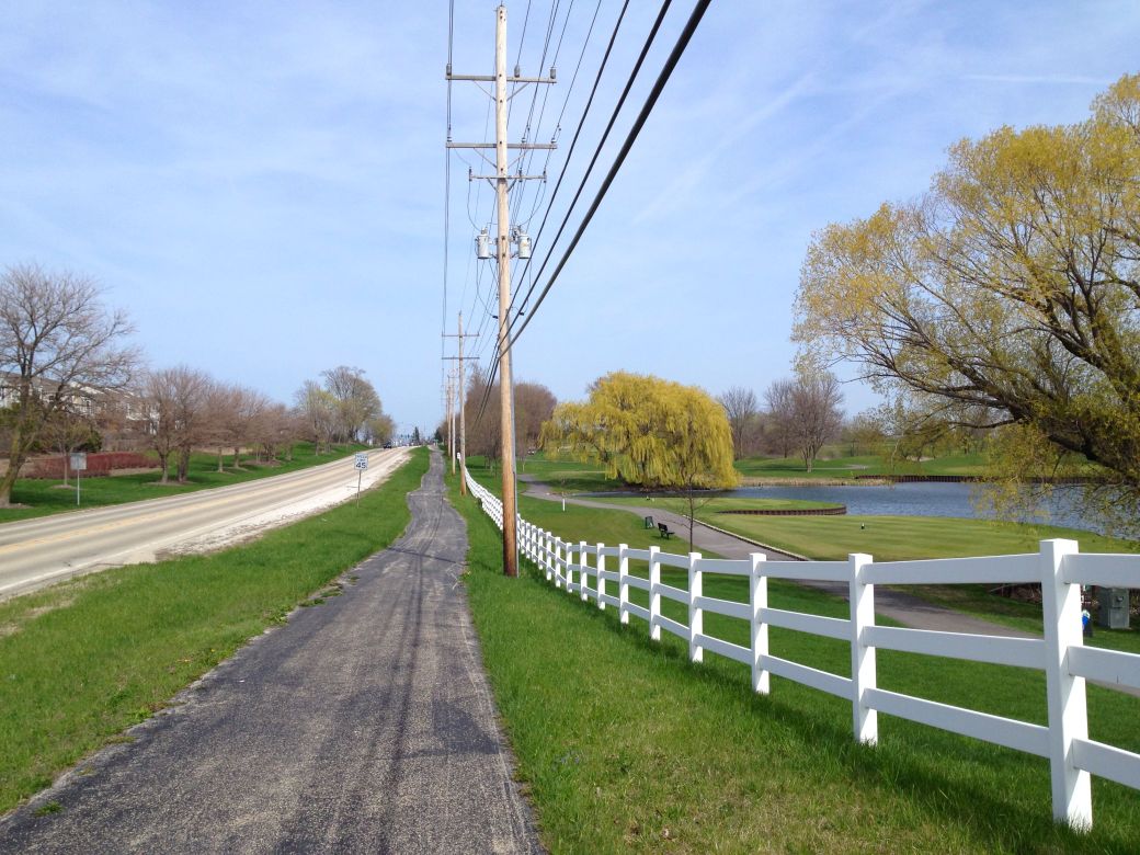
The trail is paved, straight, runs alongside Route 176 and is not all that scenic at this point although you do have a golf course on the right. This is Countryside Golf Course.
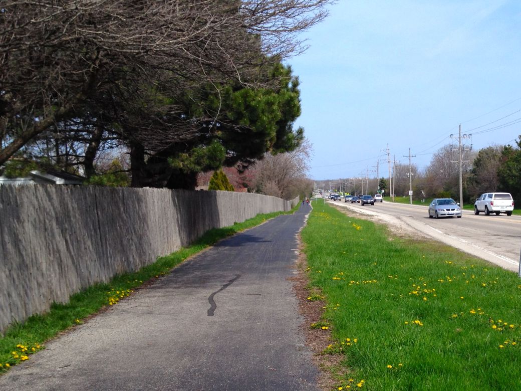
The trail crosses to the other side of the road and runs between the road and a stockade fence at this point. This is just west of Mundelein HS.
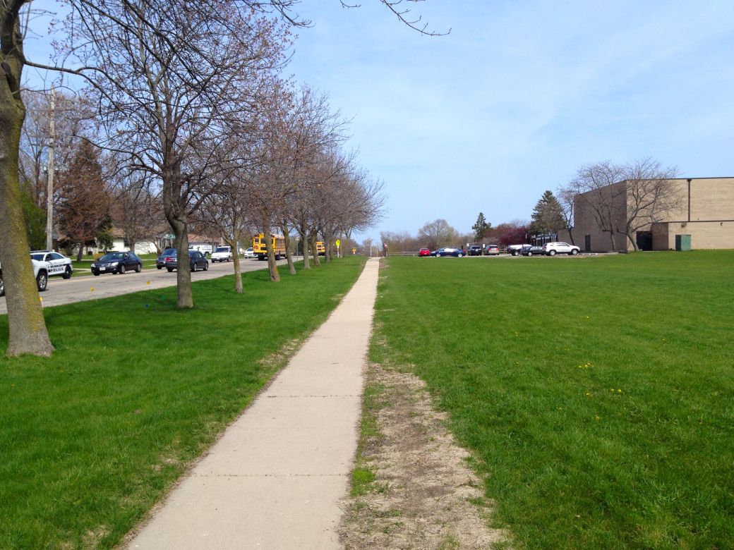
The trail ends at Midlothian Road and this sidewalk starts on the other side of the road. The sidewalk is bumpy and narrow but you can get through the town of Mundelein on the sidewalks or on Hawley Road if you don't mind riding in traffic.
I did not take any photos going through Mundelein since it is just sidewalks, intersections and residential or business areas.
After you get through Mundelein, you can take the North Shore Bike Path (See the link below) to the Des Plaines River and Des Plaines River Trail (DPRT). The photo above is the DPRT just south of the NSBP intersection.
and finally... here is where I took a quick break, had a snack and turned around for my ride back to the MT on the other side of Mundelein.
To see the photos of the rest of this ride, on the North Shore Bike Path see:
The North Shore Bike Path, West End Photos.