Prairie Trail Detour
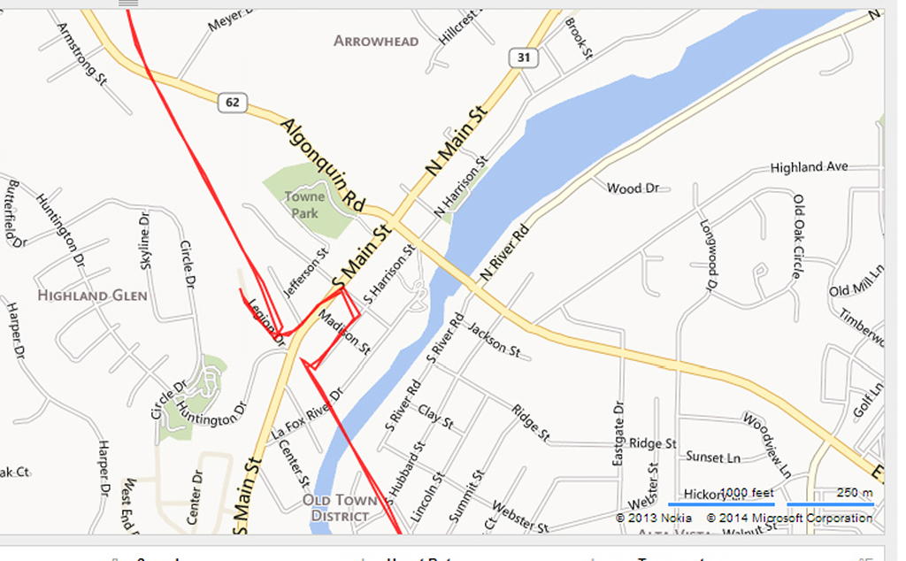
Here's a map of the detour in Algonquin that I uploaded to Garmin Connect from my Bike GPS. It's just a few side streets that take you out to where you can cross Route 31 before the new construction.
The little trip on Legion Drive was a mistake. I originally thought that the small road on the left was the path but it is just a dead end road.
The detour is marked pretty well going north but I didn't see the signs as I returned south although I knew where it was then.
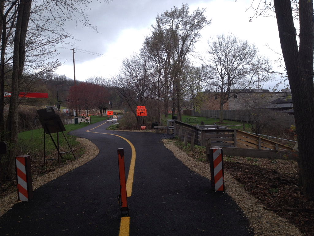
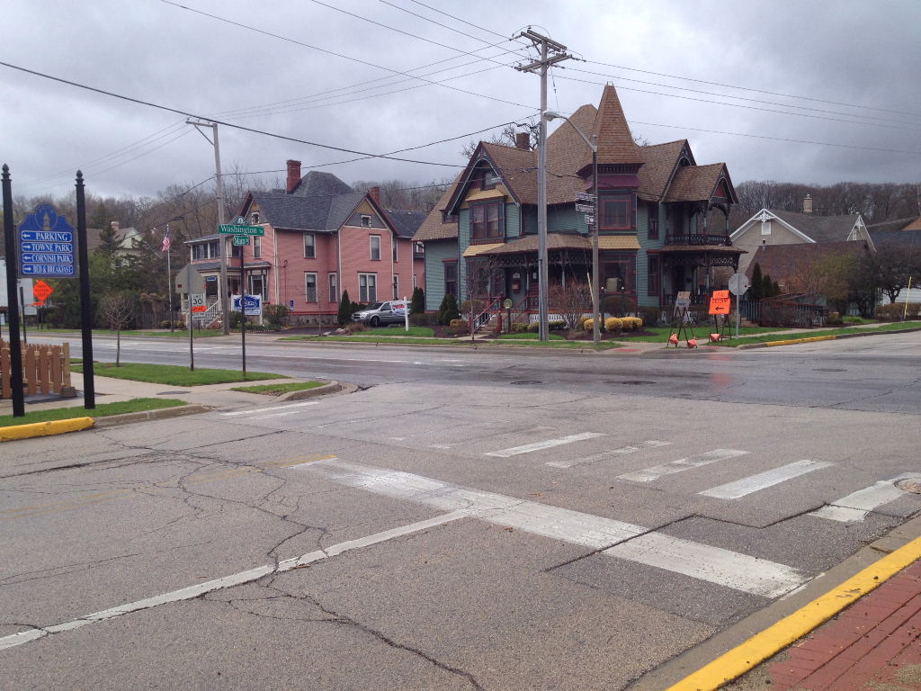
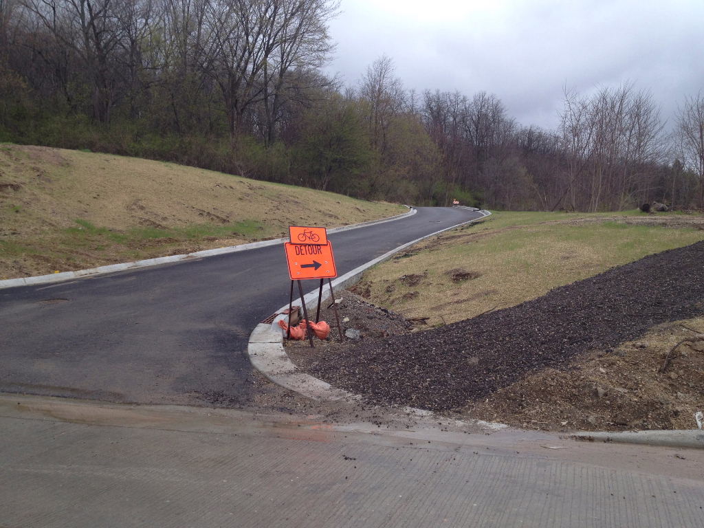
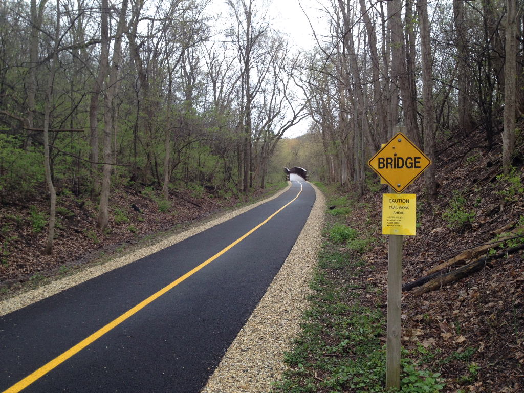
The photo above is the start of the detour as you head north on the Prairie Trail. This is just after the long bridge that crosses the Fox River.
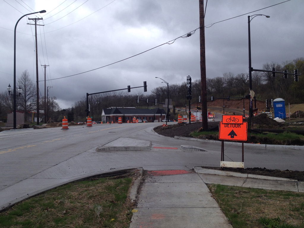
When you continue past the the detour sign the trail goes out to where it used to cross Route 31 and the construction. As you can see it would be difficult to cross here.
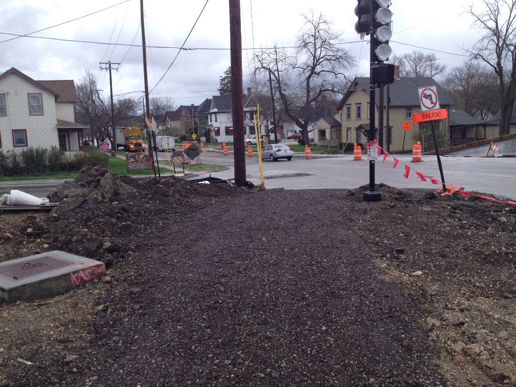
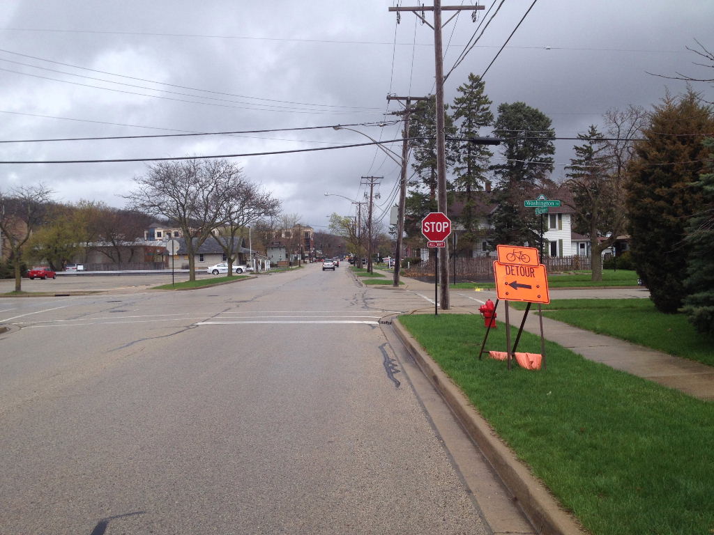 The photo above is the detour on Harrison where it turns on to Washington.
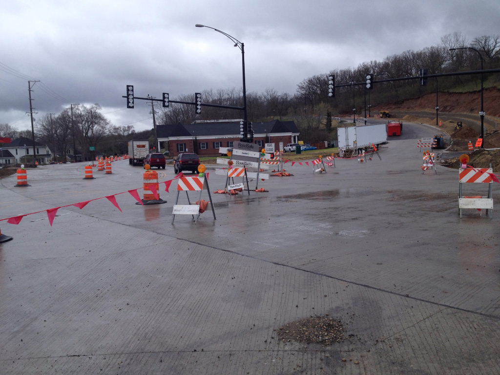
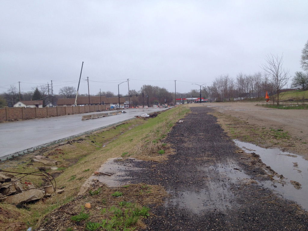
This photo is where you turn on to Main (Route 31) from Washington St. You need to cross to the north/west side of the street in order to cross the new section of Route 31.
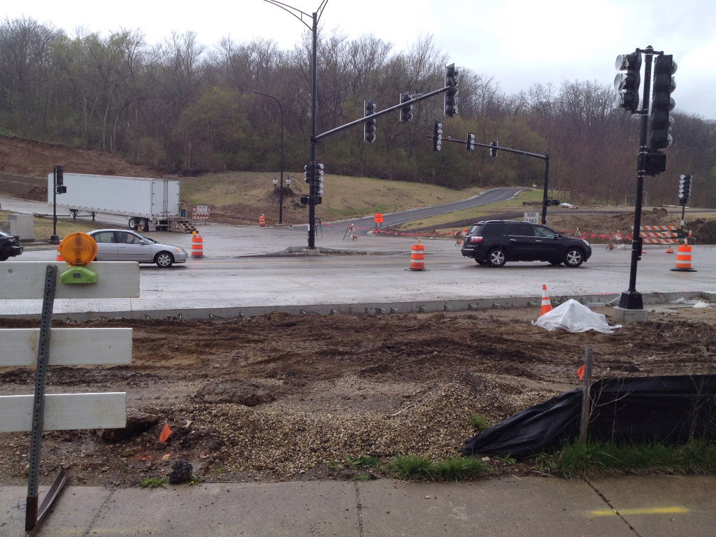
This is just before you cross the new construction.
This is looking back on the loose gravel section that they call the trail. You can barely ride on this part, especially with a road bike.
This is where you cross the new section of Route 31. The traffic curves past this part so there is no traffic to deal with here.
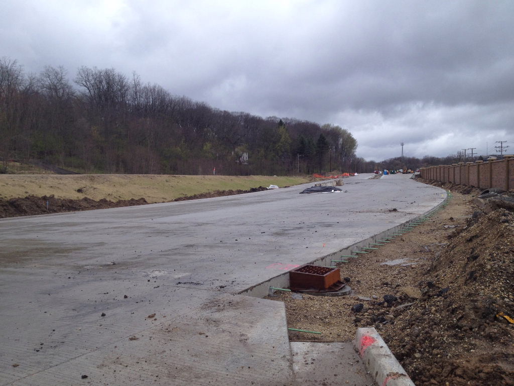
This is the new part that is still under construction. The Prairie Path runs next to this road on the ridge on the upper left of this photo.
The Prairie Path is that little loose gravel strip on the left NOT the blacktop on the right. I was optimistically thinking that the new path was on the left but that is just a dead end road. Without a mountain bike you almost need to walk your bike up the first hill here. I actually just went around this on the new road on my way north and kind of coasted down it on my way back.
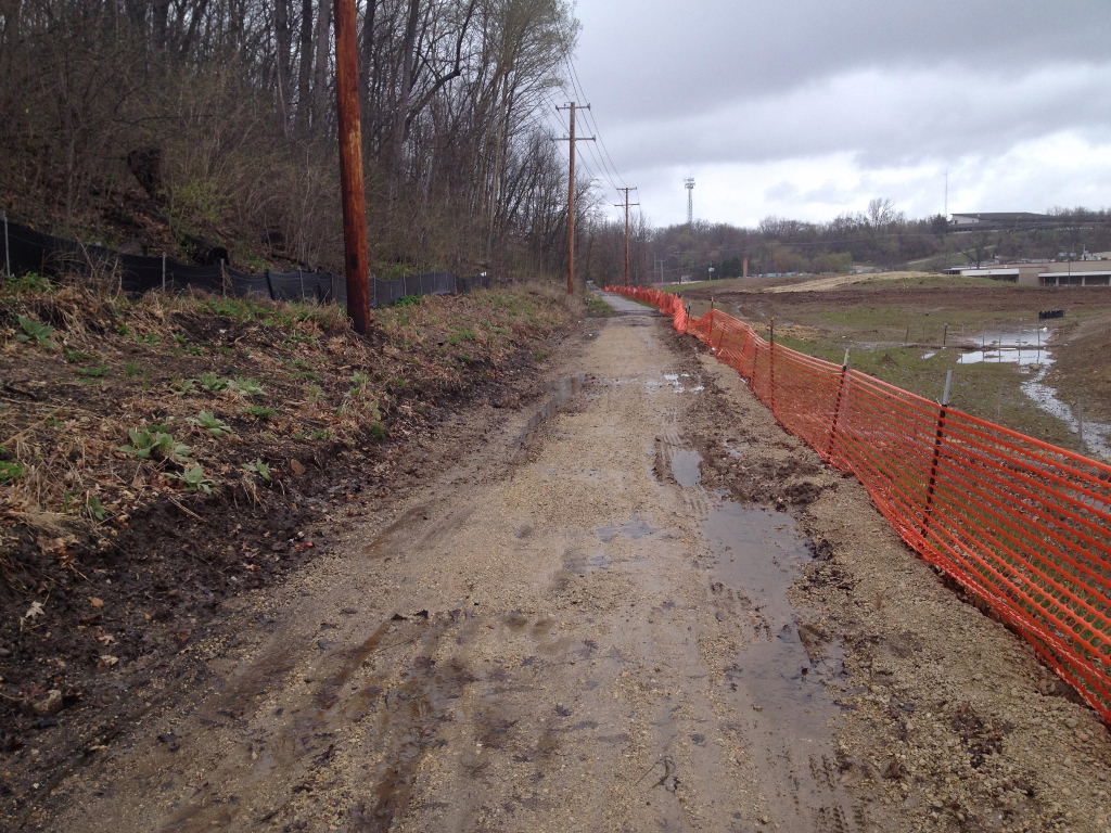
It was a rainy and cold day when I rode this trail and this is what the trail surface looks like at this point. It is like crushed blacktop and dirt/mud. It is pretty rugged but at least it is passable.
At this point the trail is almost all dirt (mud in this case) with a little gravel mixed in.
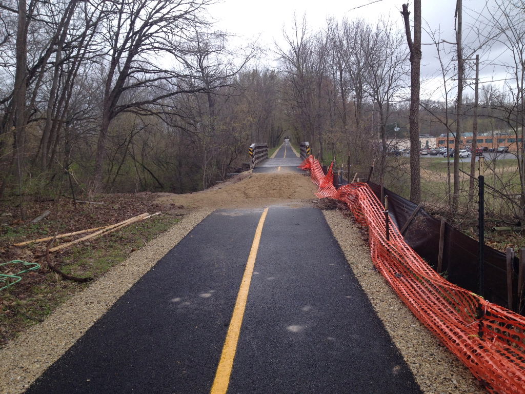
There is a nice paved section before the bridge ahead but it turns to sand just before the bridge. I walked my bike over the sand on my way north but my tires and wheels got all full of sand and it took a while to wear off. On the way back I lifted my bike to avoid the sand completely.
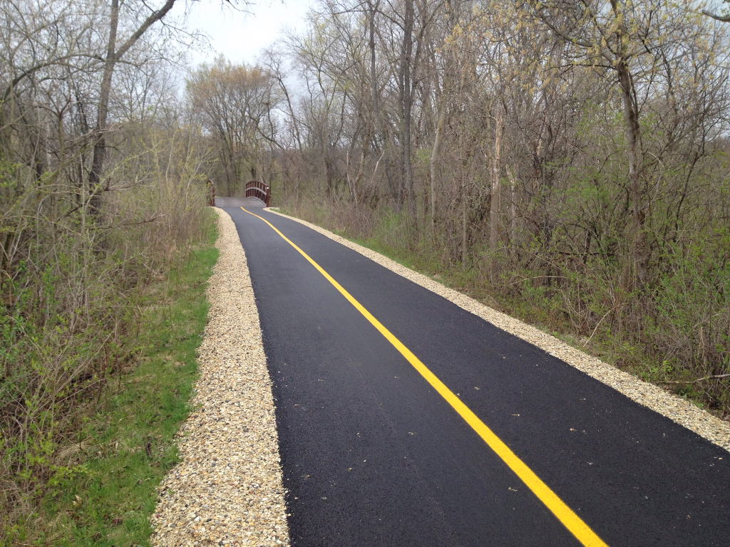
Just to show that there is a light at the end of the tunnel, once you get past the bridge in the photo before this one, most of the trail has been resurfaced and is in great shape as you can see above.
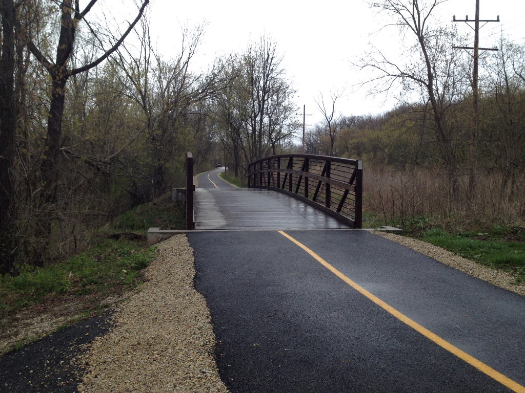
This is one of the new bridges where I had the photo of cyclists crossing the stream before this bridge was in place. It is so much nicer to cross on a bridge. :-)
This is the beginning of the construction on the way back south again.
McHenry County Prairie Trail Detour ~ May 1, 2014
For a more complete description and photo tour of the entire Prairie Trail, from Algonquin (before the construction) to Genoa City Wisconsin see:
The McHenry County Prairie Trail