Cannonball Path Photos
Beltline Hwy to Multi-Trail Intersection
(click on any photo to enlarge)
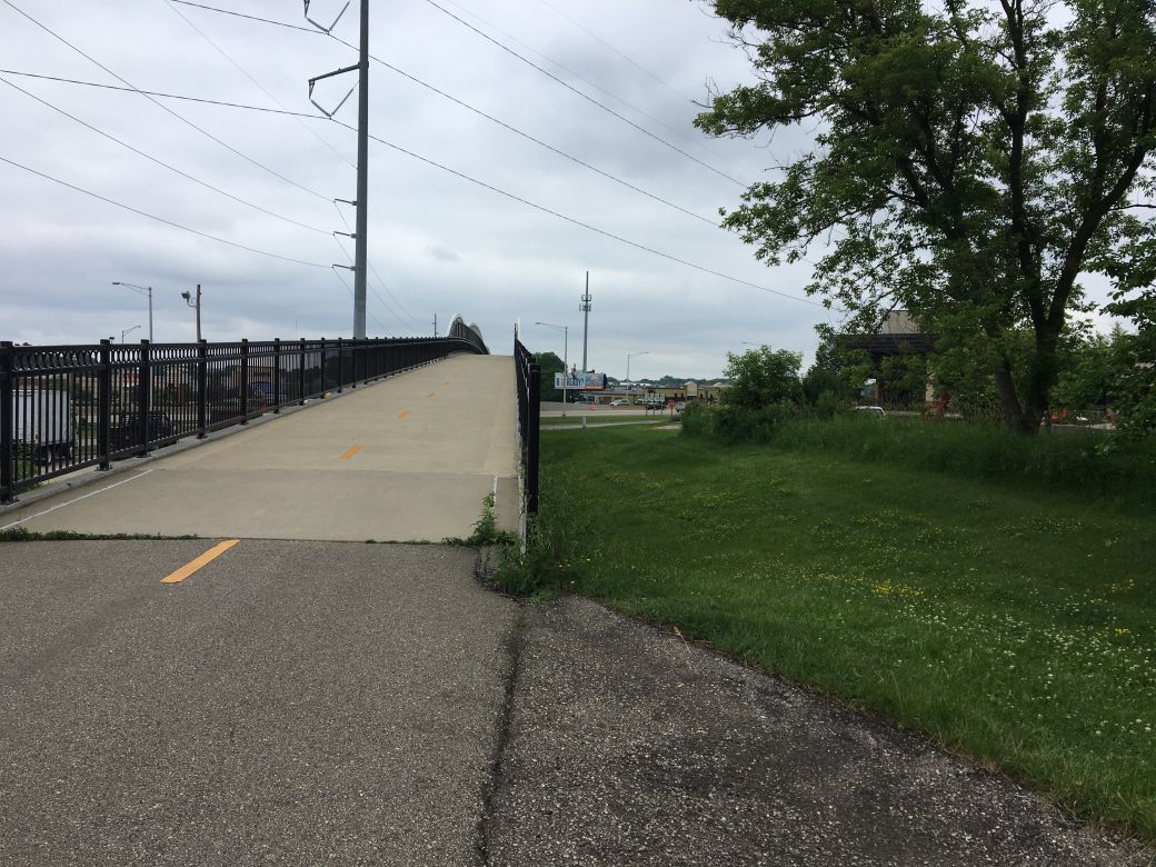
This is where the Cannonball Path crosses over the Beltline Highway near the northeastern end of the trail. We turned around here to head back south and east but the trail continues almost another mile to Fish Hatchery Road.
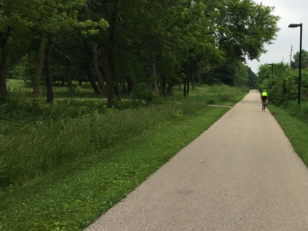
The trail was in great condition and this part of the trail was smooth, straight and flat and not crowded at all - Of course this was a weekday during working hours.
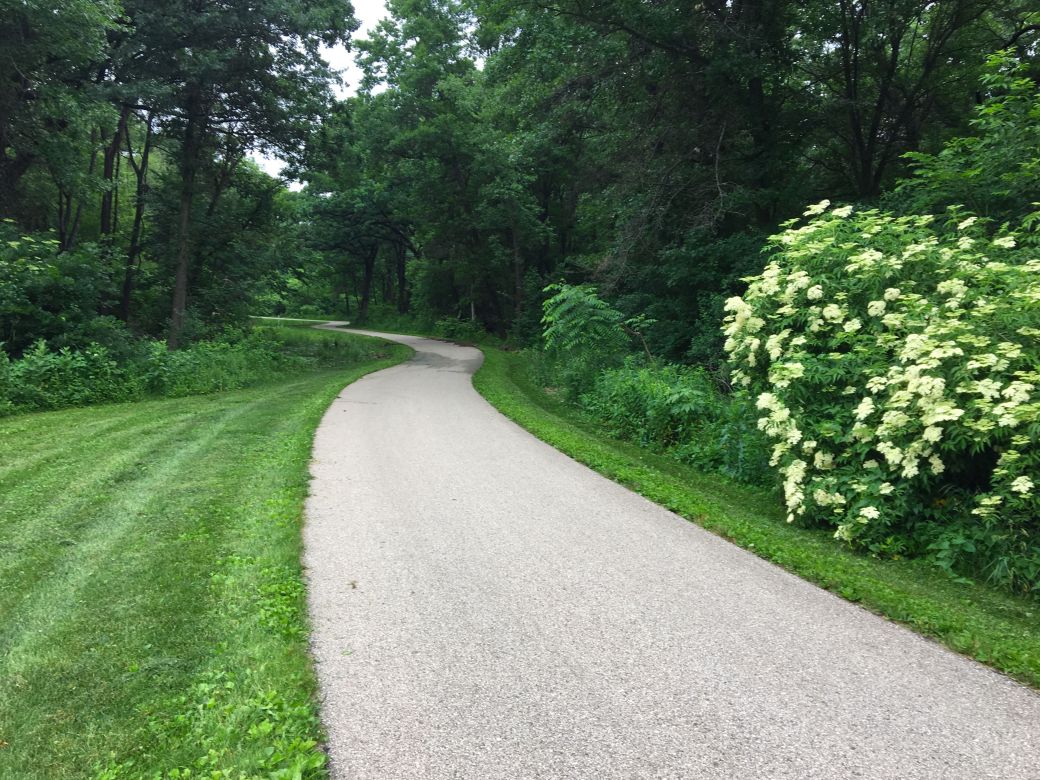
This is actually part of another trail that connects to the Cannonball Path and that we decided to explore. This one goes to Ashbourn Pond and was a nice trail.
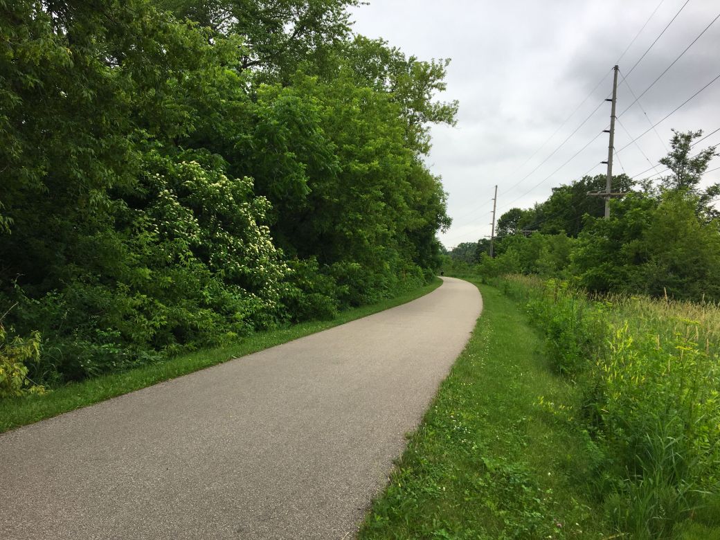
Back on the Cannonball Path again. There was a sign in this area that said "Bike Path Solar Lighting Test Area" and referred to Public Works @fitchburg.com. I was curious about that and looked it up later online. I believe that this part of the path is lit at night from lights charged with solar panels but I was never here at night and can not verify that.
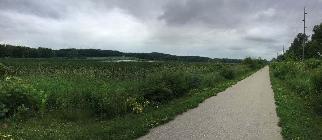
The photo above (and the photo below) are wide angle, panoramic photos of the lake or marsh that the Cannonball Path passes just east of the Bike Roundabout. The photo above is the north side of the lake from the Cannonball Path.
 *
*
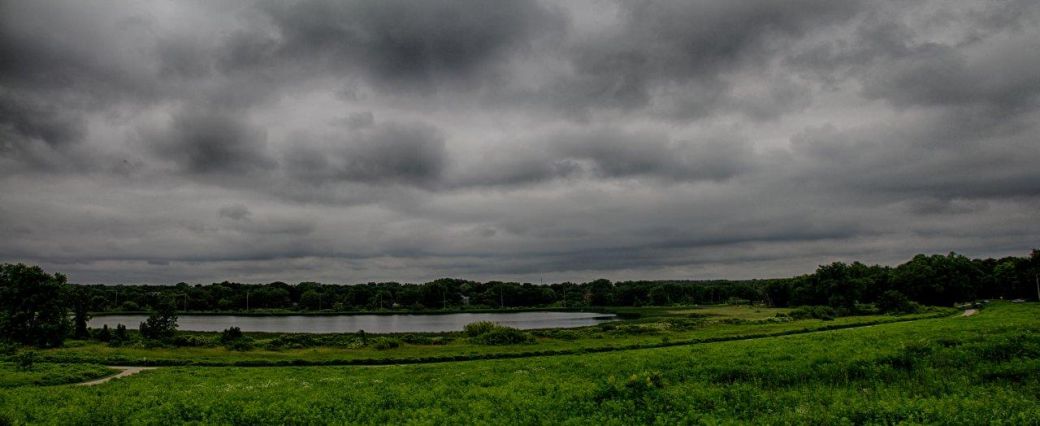
And this photo (above) is a wide angle HDR photo, from Dale Kiffel, showing the south side of the same body of water and taken from the Capital City Trail.
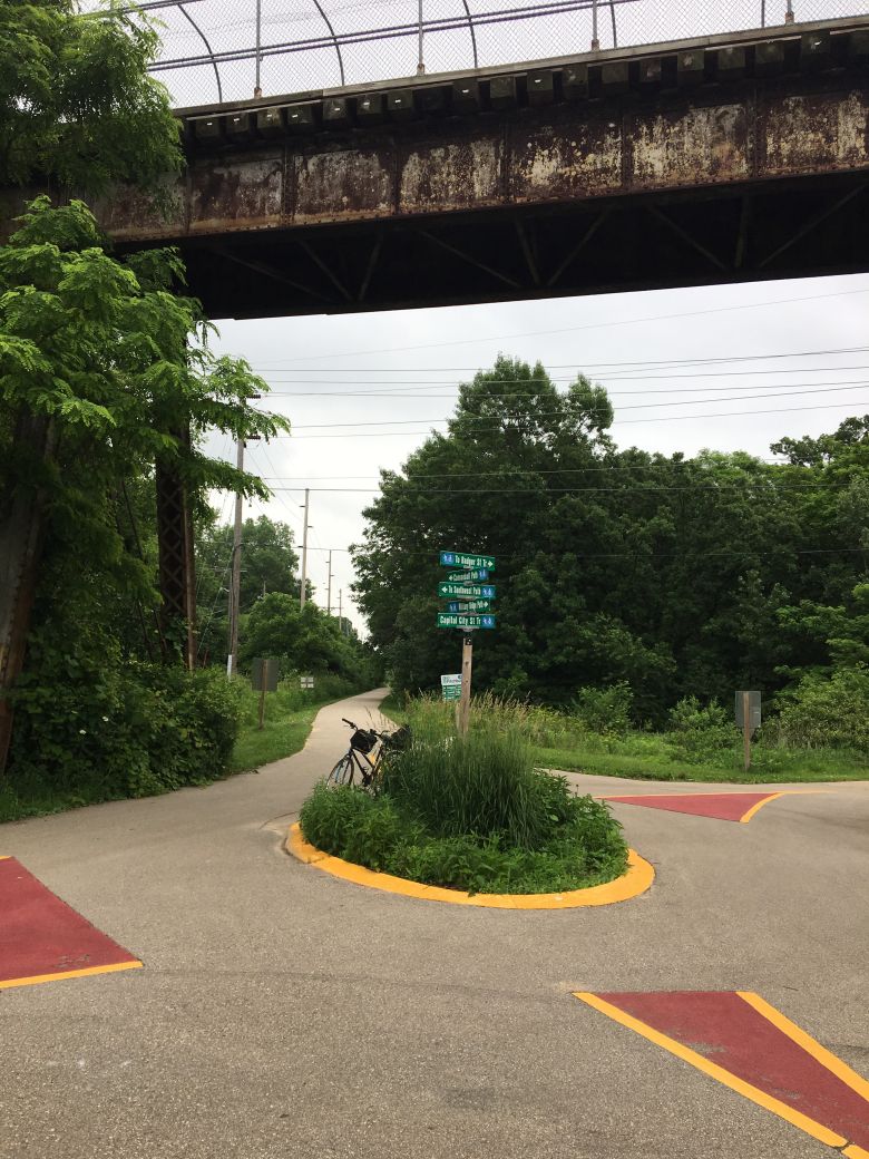
Above is a photo of the Bike Roundabout where 5 different bike trails intersect. This is setup like a regular traffic roundabout but fortunately there was not much bike traffic when we passed through it.
It can be a little confusing where you might want to go from here but there is a pretty good map by a bench here so you can see where the different bike trails go.
For a better, 3D view of this location, see the Google Photo Sphere link that I included at the bottom of this page.
 *
*
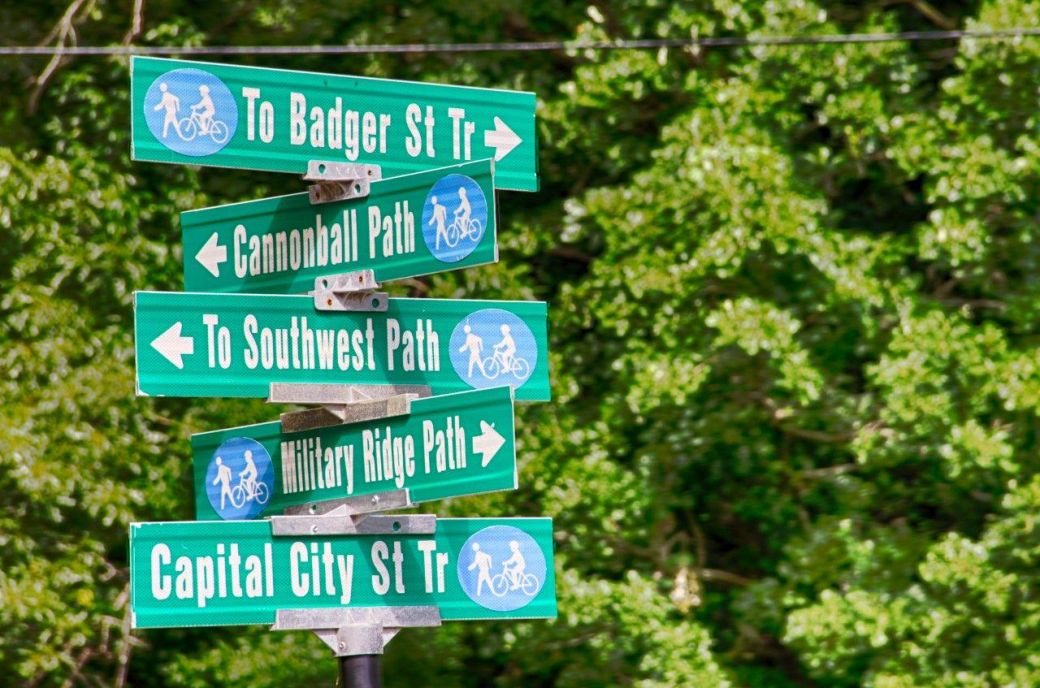
And finally here's a close-up of the trail signs at the BIke Roundabout, Trail Intersection. We actually rode 5 different trails on this day but really only rode any distance on the Cannonball Path, the Military Ridge Trail and the Badger State Trail.
Cannonball Path Photo Tour
Here's the photo tour of the Cannonball Path with plenty of first hand riding details. This ride was from June, 2018.
Cannonball Path Bike Trail Home
Cannonball Path Photos -Beltline Hwy to Multi-Trail Intersection < you are here
Google Photo Sphere of the Bike Roundabout or Multi-Trail Intersection.
Photos © Copyright Rob Chapman, about-bicycles.com. Photos with * Copyright Dale Kiffel.