Long Prairie Trail Photos
Into
Roland Olson Forest Preserve
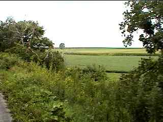
Here's some of the very nice rural scenery along the Long Prairie Trail after we got back on the trail (still heading west) from our side trip on Route 76.
(Click the photo to enlarge)
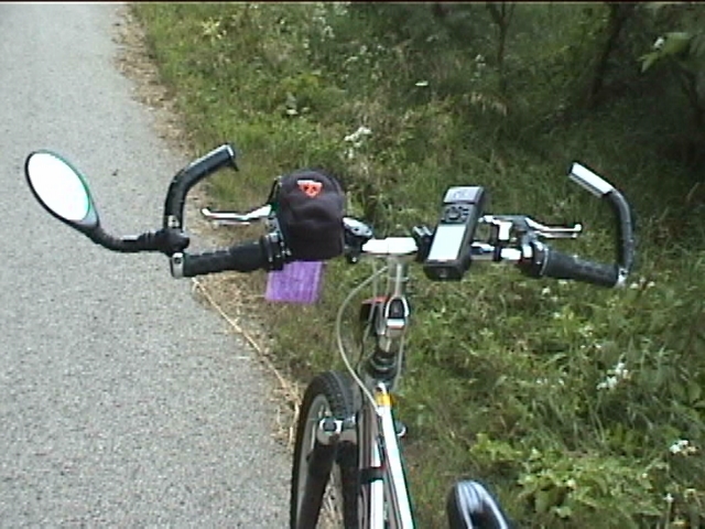
During one of our quick breaks I just had to get a photo of my friends handlebars and all the accessories that he has on them. From left to right he has his rear view mirror, a Topeak bike bag (with a cell phone inside, I believe), his bike computer, a Garmin GPS and a bike bell!
(Click the photo to enlarge)
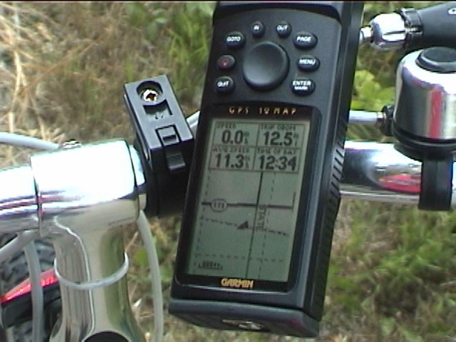
Here's a closer view of his bike GPS unit. I am writing this caption after the fact and this was actually the first bike GPS unit that I had ever seen (this was 2003 remember). I thought that this was really cool and he had loaded maps to it for the area that we were in and gave me a demo of how it worked. I thought that was the coolest thing but I couldn't afford one at the time. Check out how big they were back then...
This caption update is 10 years later and I have now had my own Garmin Edge 800 for quite a while now and I still think that they are cool. Actually, now that I have mine I think that it's so cool that I don't ever plan to go back to the old wheel, magnet bike computers anymore.
OK, sorry for the little GPS break and nostolgia. Back to the trail...
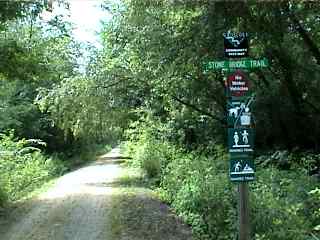
We passed through the town of Calidonia and at the western end of the Long Prairie Trail you can connect to the (crushed stone) Stone Bridge Trail which we took for a short distance to the Roland Olson Forest Preserve.
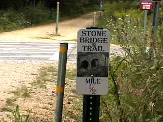
This is one of the signs for the Stone Bridge Trail. I believe that the SBT goes all the way past Interstate 90 and into Rockton but I only rode a short distance on this trail so I can't confirm that.
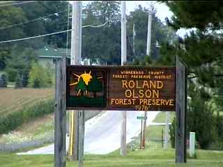
We made it to the and of this ride and took a little side trip into the Roland Olson forest Preserve (our turn around point for this trip...)
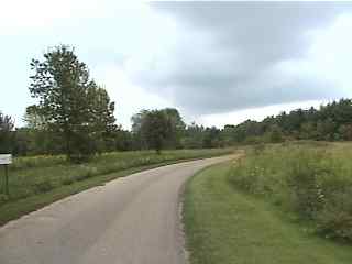
This is one of the forest preserve roads. My friend was showing me his GPS map of the FP and I was just blown away at how accurate it was. It even had all the FP roads. Of course, we take all of this GPS technology for granted these days but remember this was 2003!
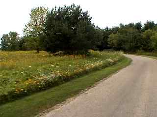
Here are some typical Prairie scenes in the forest preserve which is very similar to the prairie scenes along the rest of the trail.
The photo tour of the Long Prairie Trail, from County Line Road (near Capron) to Roland Olson Forest Preserve. These pictures are from August (2003).
Long Prairie Trail Photos 1 - Starting at County Line Road
Long Prairie Trail Photos 2 - Through Poplar Grove
Long Prairie Trail Photos 3 - Roland Olson FP < You are here