The Des Plaines River Trail Photos
Old School Trail
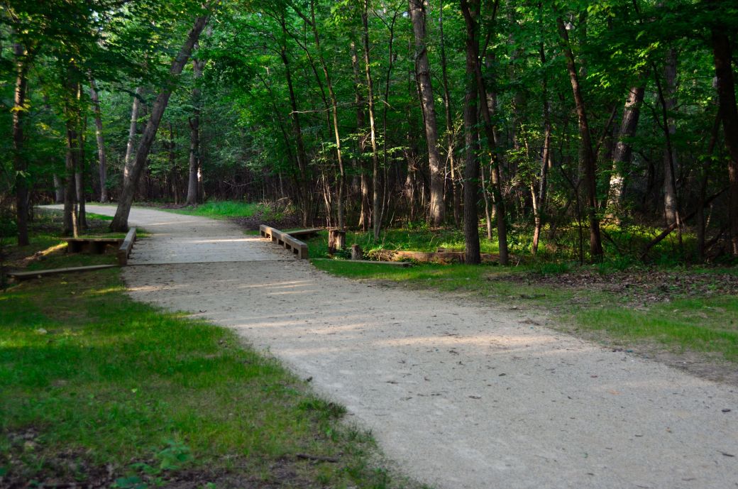
We started this ride in Half Day heading north but I didn't start the photos until we got to the Old School Preserve near Libertyville. The photo above is from a side trip that we took on the Old School Trail where it intersects the Des Plaines River Trail (DPRT) just south of Route 176.
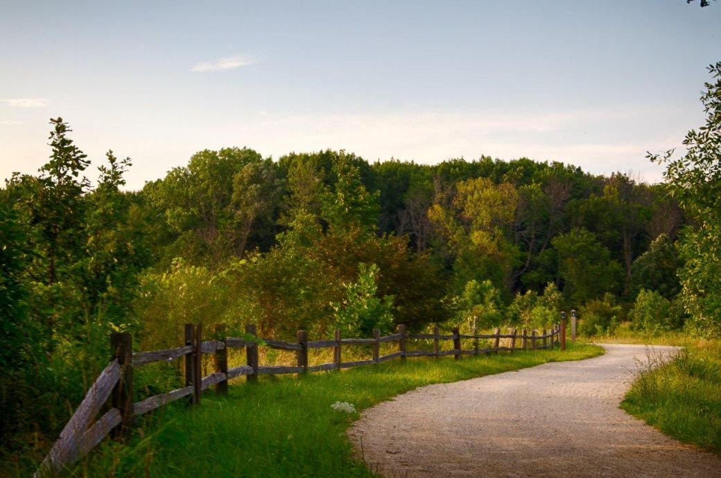
This part of the trail is where it goes through the Old School Forest Preserve and winds out to and around a small lake or pond next to the expressway (Interstate 94). This is a very nice side trip if you are on this part of the Des Plaines River Trail.
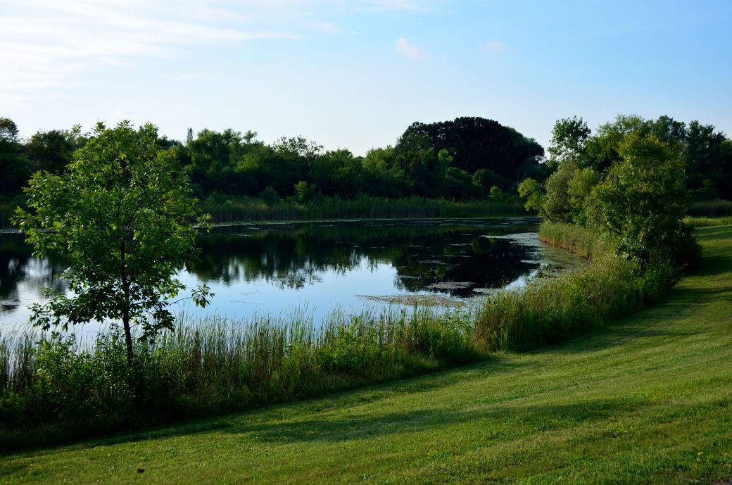
The photo above is the lake that the bike path goes around. The expressway is a little ways off and to the right. You can continue on this bike path (the Old School Trail at this point) around the eastern side of the Old School Forest Preserve and back to the DPRT.
 *
*
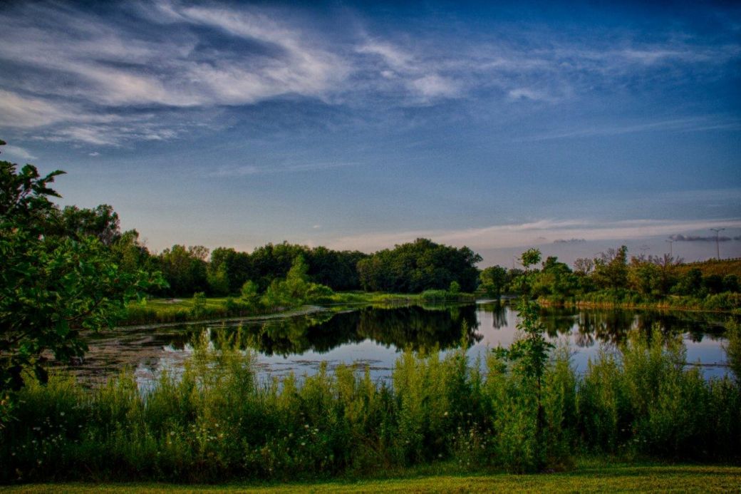
The photo above is a HDR (High Dynamic Range) picture of the Old School Preserve lake, contributed by Dale Kiffel, taken from the bike path at the southern end of the lake.
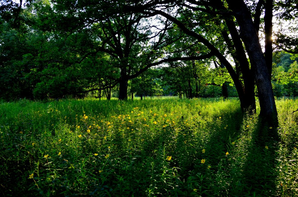
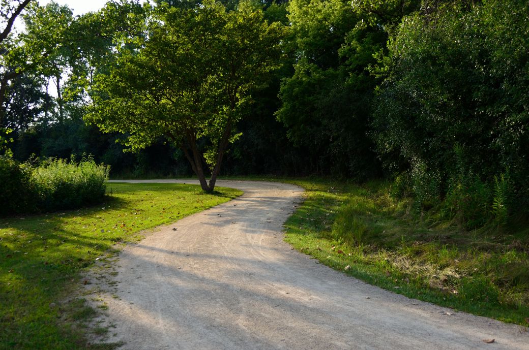
We went through a nice wooded area on our way back to the DPRT after we rode around the lake in the Old School Preserve. This was later in the day and I really liked the way the sunshine made it's way through the trees at this time of day.
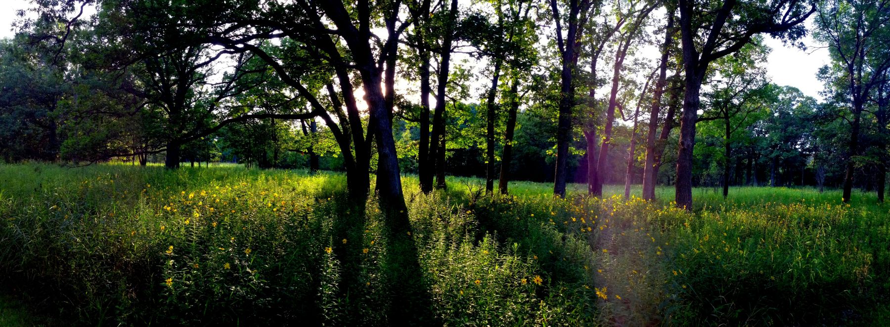
I actually took the photo above with my iPhone using the panorama setting. As I mentioned above, I liked the way the sun shined through the trees here and the panoramic setting in my phone made it easy to capture a wider image although, unfortunately, I did get some sun flare in the photo.
The HDR photo above shows where the DRPT winds through an open prairie. You go beck into the woods on both sides of this open stretch.
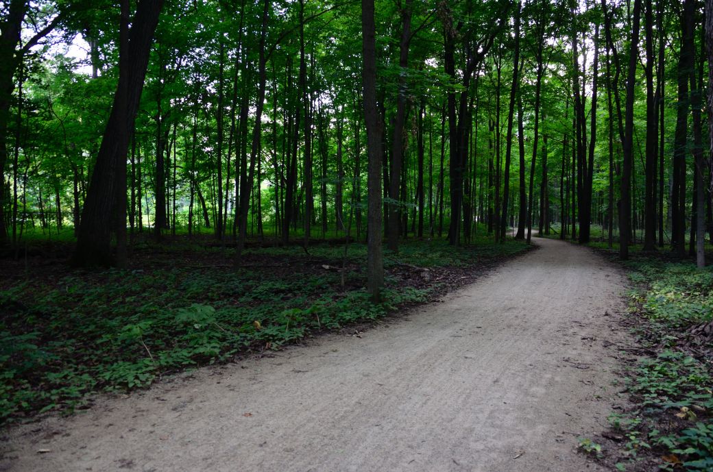
The trail is much more wooded (and shady on those hot summer days) in this area which is somewhere in MacArthur Woods just before the Route 60 underpass.
Here's the Photo Tour of the Half Day to Old School Forest Preserve ride from August 16th, 2014. These pages include photos of the DPR Trail in this section along with some nice scenery photos (including a few HDR photos) taken from various locations on the trail.
Old School Trail and MacArthur Woods - Photos 20 < You are here
Route 60, Wright Woods and Half Day FP - Photos 21
Here's the GPS Map of the ride above.
Here are some Fall Photos of the DPRT from Euclid (or Lake Street) a little east of Prospect Heights south to Golf Road then back north to Milwaukee Ave (from October 9, 2012):
DPRT Fall Photos 17 - Just South of Lake Street
DPRT Fall Photos 18 - Branch to Beck Lake
DPRT Fall Photos 19 - North of Lake Street
Here's the GPS Map of the ride above.
Here's the photo tour of the Des Plaines River Trail from Higgins Road in Park Ridge north to Dundee Road in Wheeling (July, 2012).
The Des Plaines River Trail Photos 12 - Park Ridge Leg
The Des Plaines River Trail Photos 13 - Des Plaines Riverwalk Area
The Des Plaines River Trail Photos 14 - Big Bend Lake to Euclid
The Des Plaines River Trail Photos 15 - To Allgauers Restaurant
The DPRT Photos 16 - To Dam No 1, Wheeling
Here's the GPS Map of the ride above.
Here's the photo tour of the Des Plaines River Trail from Lincolnshire (Routes 21 and 22 going south) to Dundee Road in Wheeling, Il. (June, 2012).
The DPRT Photos 8 - Lincolnshire Marriott Area
The DPRT Photos 9 - Path along Milwaukee Road
The DPRT Photos 10 - Deerfield Road to Lake Cook Road
The DPRT Photos 11 - County Line Road to Wheeling
Here's the GPS Map of the ride above.
Here's the photo tour of the Des Plaines River Trail, from Route 22 in Half Day (going north) to Libertyville (July, 2005).
Des
Plaines River Trail Photos 4 - Lincolnshire to Wright Woods
Des
Plaines River Trail Photos 5 - Bridge Underpasses and Equestrian
Des Plaines River Trail Photos 6 - North to North Shore Path
DPRT Photos 7 - North Shore Path to Independence Grove
Here's the photo tour of the Des Plaines River Trail, from Wisconsin (going south) to Libertyville (September, 2004).
Des
Plaines River Trail Photos 1 - Van Patton Woods
Des
Plaines River Trail Photos 2 - Mile 5 South to Great America
Des
Plaines River Trail Photos 3 - Mile 11 to Adler Park in Libertyville
Note: Des Plains is a common mi s-spelling for Des Plaines (with the e near the end) so will see some references to Des Plains River Trail on these pages to help with the searches for the trail pages.
Photos © Copyright Rob Chapman, about-bicycles.com. Photos with * Copyright Dale Kiffel.
Half Day to Old School, August 2014
Fall Photos, October,2012
DPRT Photos 17
DPRT Photos 18
DPRT Photos 19
Park Ridge to Wheeling, July 2012.
DPRT Photos 12
DPRT Photos 13
DPRT Photos 14
DPRT Photos 15
DPRT Photos 16
Lincolnshire to Wheeling , June 2012
DPRT Photos 8
DPRT Photos 9
DPRT Photos 10
DPRT Photos 11
Half Day to Libertyville, July
DPRT Photos 4
DPRT Photos 5
DPRT Photos 6
DPRT Photos 7
Wisconsin to Libertyville, September, 2004
DPRT Photos 1
DPRT Photos 2
DPRT Photos 3