The Des Plaines River Trail
Des Plaines Riverwalk Area
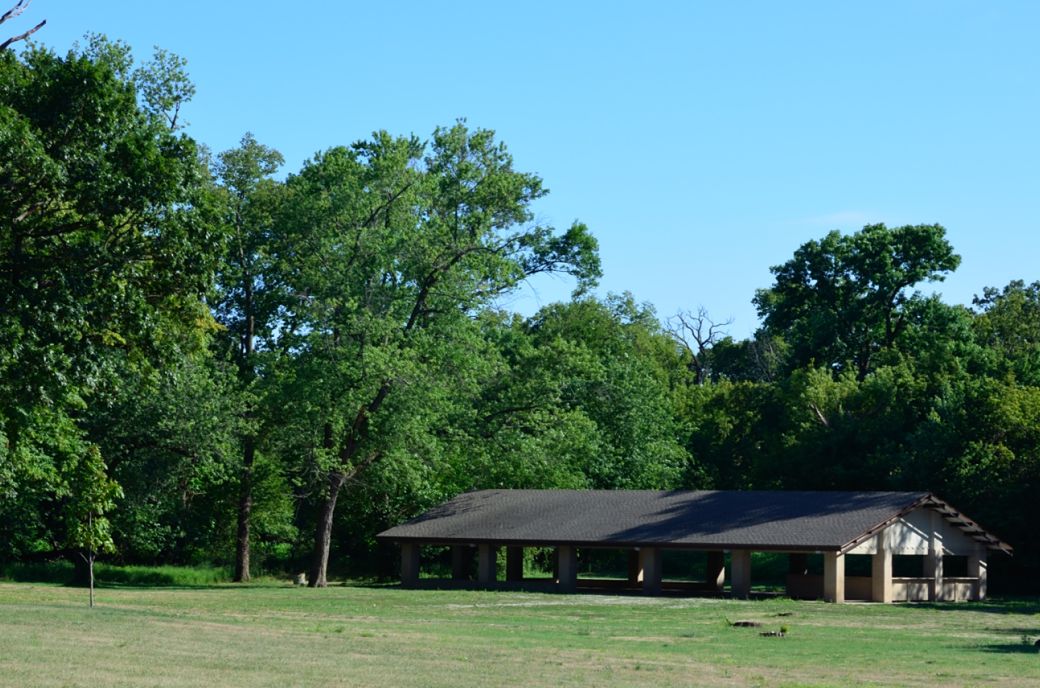
This is the pavilion at Northwestern Woods Forest Preserve where we stopped for a late lunch.
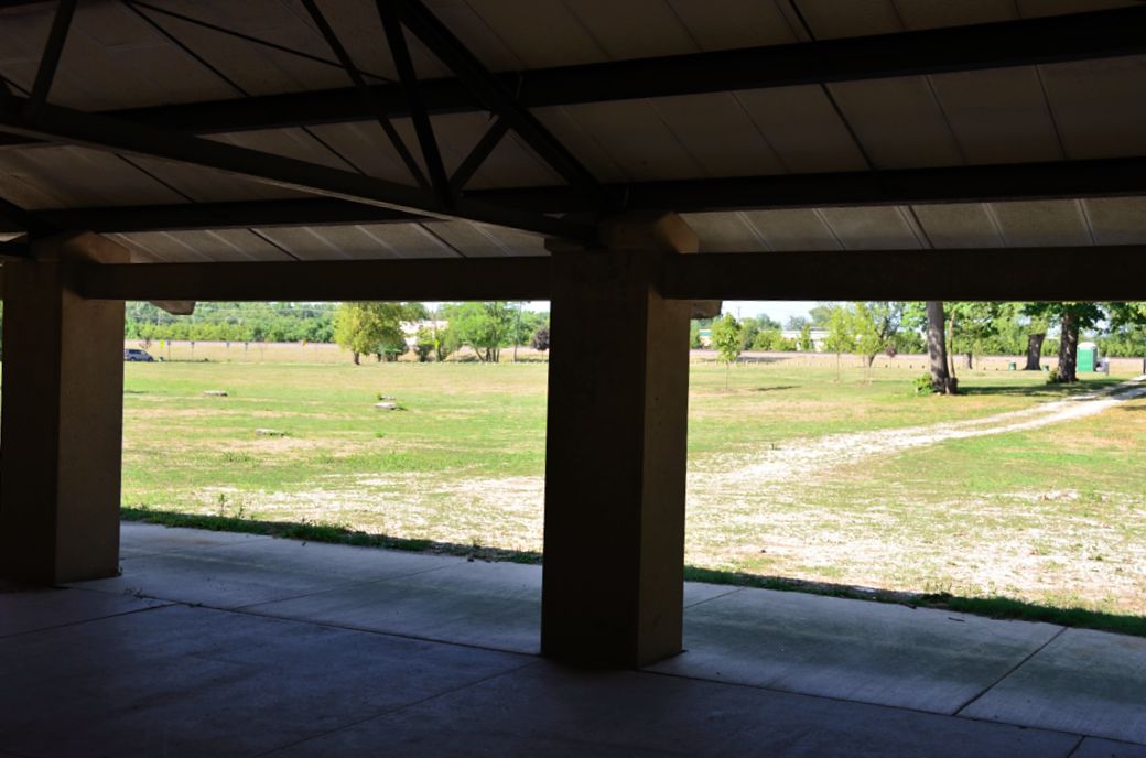
The pavilion was clean and really big although there were no picnic tables inside. The shade was also really nice on this hot summer day.
 *
*
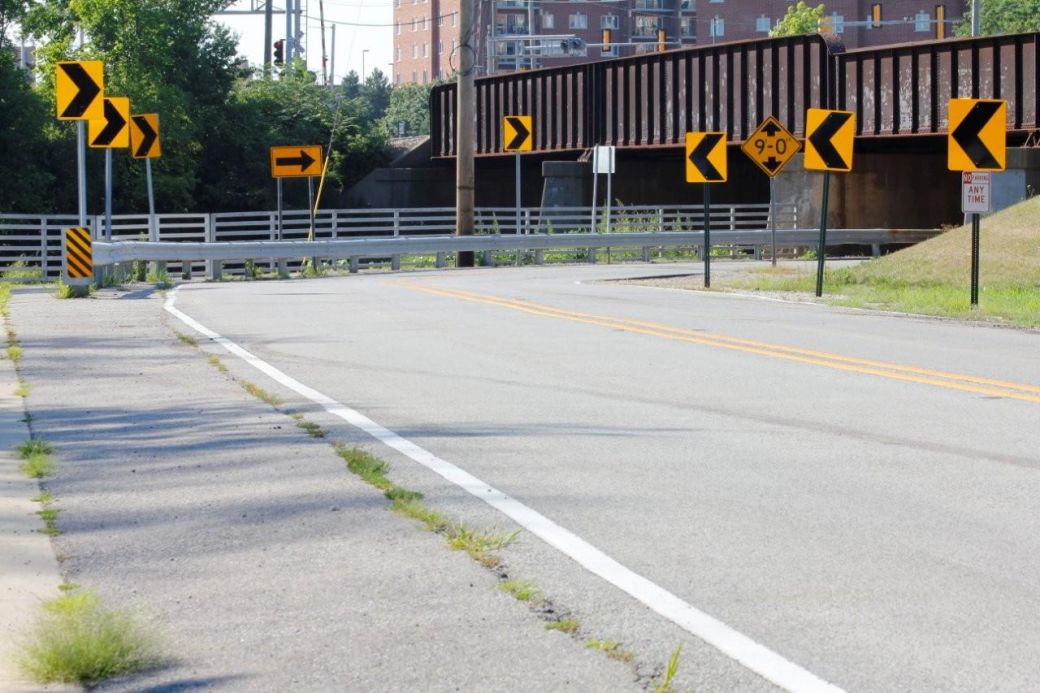
Just north of Northwestern Woods FP the path crosses under the Metra train tracks and busy roads in downtown Des Plaines. Looking at the signs here would make anyone wonder which way to go! :-) OK, the bike path and riverwalk is to the right and along the steel rail straight ahead.
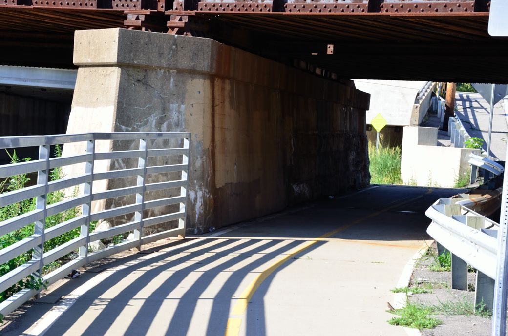
This is the view as you pass under the Metra train tracks just before the second tunnel under the roads.

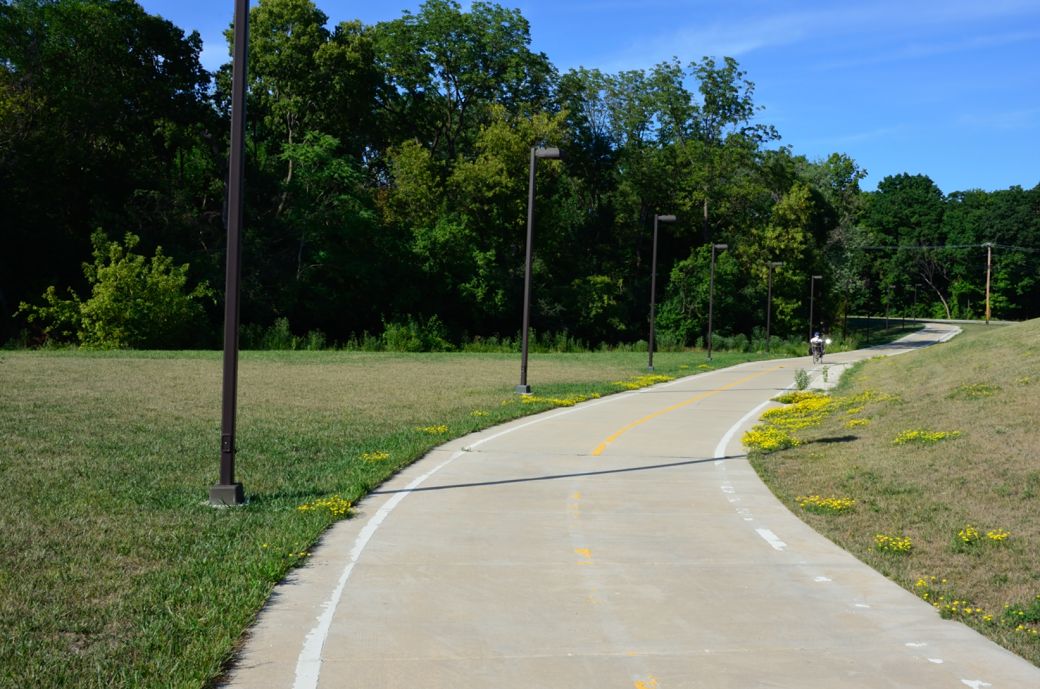
This is still the Des Plaines River Trail (DPRT) as it runs right next to the Des Plains River and passes through Des Plaines. I have also seen this part of the trail referred to as the Des Plaines Riverwalk.
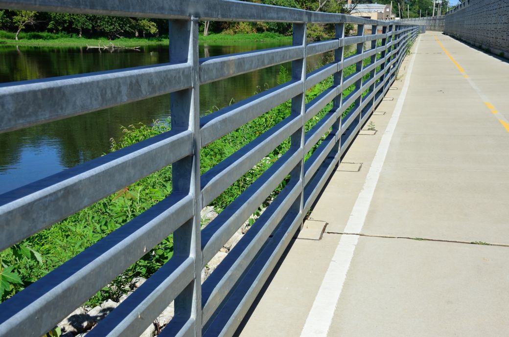
As you can see the Des Plaines River is just to the left (through the steel railings) and there is a decorative brick wall on the right.
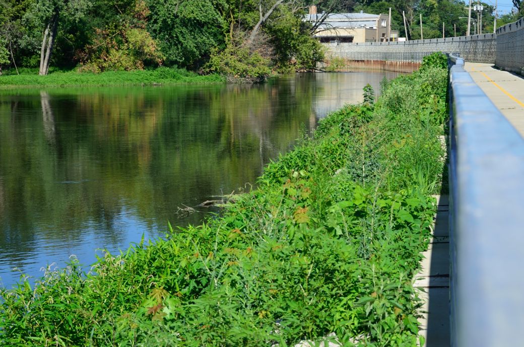
The colorful reflections of the Des Plaines River as seen from the DPRT and looking straight down the steel railing.
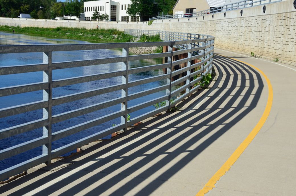
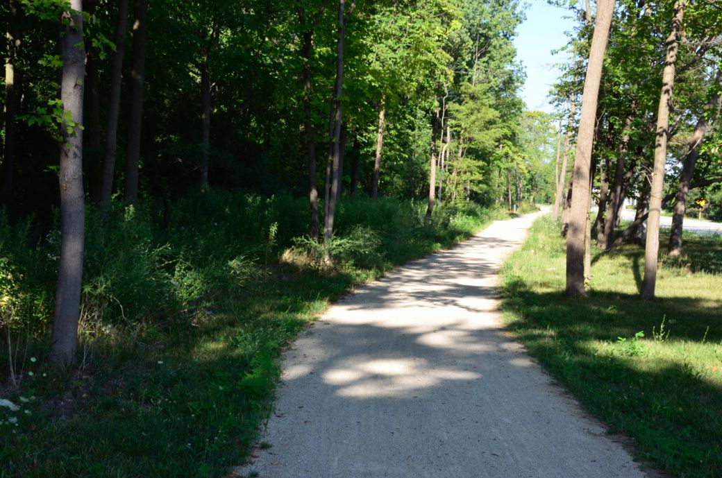
The DPRT riverwalk section goes on for a while and curves to the left here as we get closer to the end of this section.
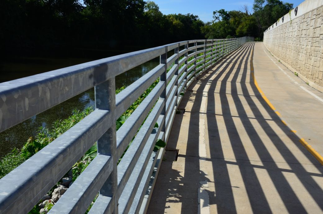
And here's the final section of the riverwalk part of the trail just before the DPRT curves to the right and away from the Des Plaines River for a short stretch.
This is the lighted section of the Des Plaines River Trail as you leave the riverwalk area and just before crossing Rand Road at Ballard Road.
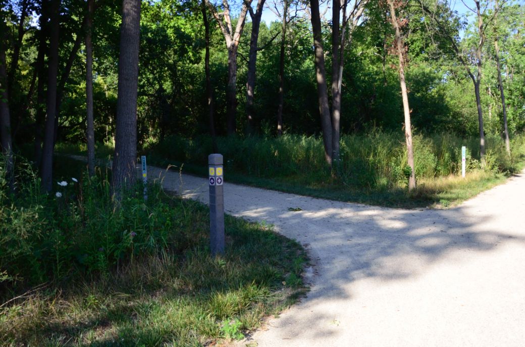
I found this part of the DPRT a little confusing as we headed south. I was following the signs for the Yellow Trail up ahead but the Yellow Trail split into two sections here. One section went straight across Ballard Road and the other turned and went next to Ballard Road (more info below).
The Yellow Trail (and Purple Trail) intersection sign. If take the section that crosses Ballard Road here (as you go south), it ends at busy Rand Road. You can go down the hill, cross Rand Road and take the sidewalk back to the riverwalk section of the DPRT but it is much easier to go on the trail alongside Ballard Road to the traffic signal. It's not as confusing heading north (as we are here).
Here's the Photo Tour of the Half Day to Old School Forest Preserve ride from August 16th, 2014. These pages include photos of the DPR Trail in this section along with some nice scenery photos (including a few HDR photos) taken from various locations on the trail.
Old School Trail and MacArthur Woods - Photos 20
Route 60, Wright Woods and Half Day FP - Photos 21
Here's the GPS Map of the ride above.
Here are some Fall Photos of the DPRT from Euclid (or Lake Street) a little east of Prospect Heights south to Golf Road then back north to Milwaukee Ave (from October 9, 2012):
DPRT Fall Photos 17 - Just South of Lake Street
DPRT Fall Photos 18 - Branch to Beck Lake
DPRT Fall Photos 19 - North of Lake Street
Here's the GPS Map of the ride above.
Here's the photo tour of the Des Plaines River Trail from Higgins Road in Park Ridge north to Dundee Road in Wheeling (July, 2012).
The Des Plaines River Trail Photos 12 - Park Ridge Leg
DPRT Photos 13 - Des Plaines Riverwalk Area < You are here
The Des Plaines River Trail Photos 14 - Big Bend Lake to Euclid
The Des Plaines River Trail Photos 15 - To Allgauers Restaurant
The DPRT Photos 16 - To Dam No 1, Wheeling
Here's the GPS Map of the ride above.
Here's the photo tour of the Des Plaines River Trail from Lincolnshire (Routes 21 and 22 going south) to Dundee Road in Wheeling, Il. (June, 2012).
The DPRT Photos 8 - Lincolnshire Marriott Area
The DPRT Photos 9 - Path along Milwaukee Road
The DPRT Photos 10 - Deerfield Road to Lake Cook Road
The DPRT Photos 11 - County Line Road to Wheeling
Here's the GPS Map of the ride above.
Here's the photo tour of the Des Plaines River Trail, from Route 22 in Half Day (going north) to Libertyville (July, 2005).
Des
Plaines River Trail Photos 4 - Lincolnshire to Wright Woods
Des
Plaines River Trail Photos 5 - Bridge Underpasses and Equestrian
Des Plaines River Trail Photos 6 - North to North Shore Path
DPRT Photos 7 - North Shore Path to Independence Grove
Here's the photo tour of the Des Plaines River Trail, from Wisconsin (going south) to Libertyville (September, 2004).
Des
Plaines River Trail Photos 1 - Van Patton Woods
Des
Plaines River Trail Photos 2 - Mile 5 South to Great America
Des
Plaines River Trail Photos 3 - Mile 11 to Adler Park in Libertyville
Note: Des Plains is a common mi s-spelling for Des Plaines (with the e near the end) so will see some references to Des Plains River Trail on these pages to help with the searches for the trail pages.
Photos © Copyright Rob Chapman, about-bicycles.com. Photos with * Copyright Dale Kiffel.
Half Day to Old School, August 2014
Fall Photos, October,2012
DPRT Photos 17
DPRT Photos 18
DPRT Photos 19
Park Ridge to Wheeling, July 2012.
DPRT Photos 12
DPRT Photos 13
DPRT Photos 14
DPRT Photos 15
DPRT Photos 16
Lincolnshire to Wheeling , June 2012
DPRT Photos 8
DPRT Photos 9
DPRT Photos 10
DPRT Photos 11
Half Day to Libertyville, July
DPRT Photos 4
DPRT Photos 5
DPRT Photos 6
DPRT Photos 7
Wisconsin to Libertyville, September, 2004
DPRT Photos 1
DPRT Photos 2
DPRT Photos 3