The Des Plaines River Trail
Deerfield Road to Lake Cook Road
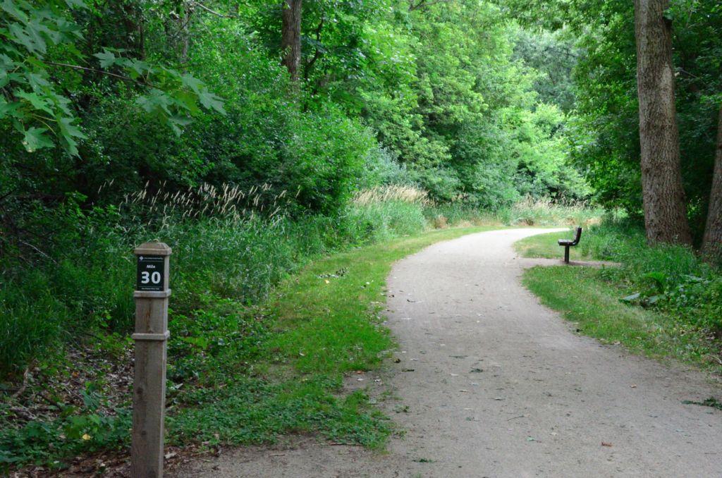
This is mile marker 30 on the Des Plaines River Trail which is south of Deerfield Road. The mile markers are from north to south with mile zero at the northern most part of the DPRT so this is a little over 30 miles from the Wisconsin border.
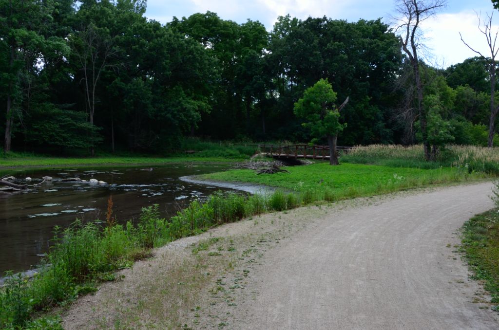
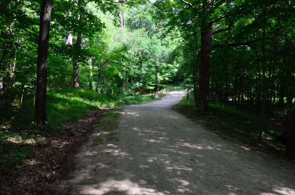
There are a number of small bridges and wetland areas along this part the Des Plaines River Trail (between Deerfield Road (on the north) and Lake Cook Road (on the south)).
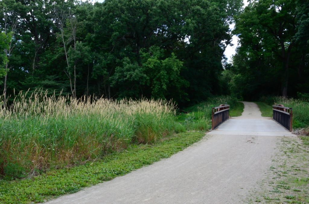
This time of year there were high grasses on both sides of this small bridge.
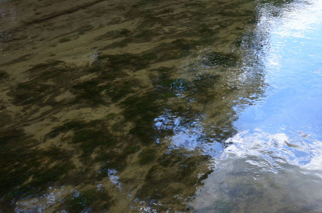
As you look over the bridge the water was very shallow and clear. You could see the plants on the river bottom very clearly.
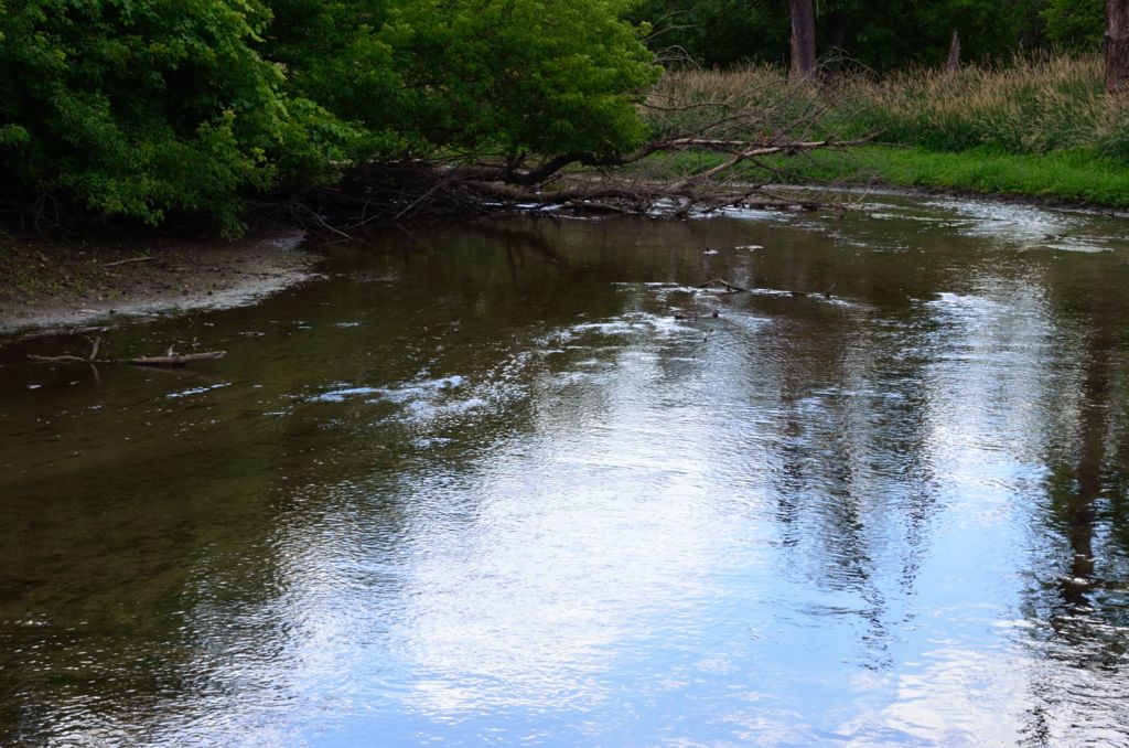
This was looking out in the distance from the same bridge on the DPRT.
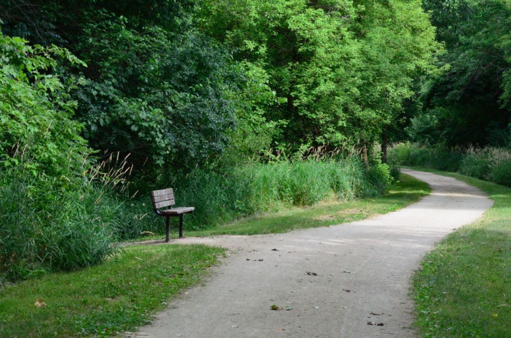
There are actually plenty of benches on the sides of the trail (in the Lake County part of the DPRT) if you need comfortable place for a little break. I think that the Lake County part of the DPRT is one of the nicest parts of the very long trail system and is probably maintained better than the Cook County part of the trail.
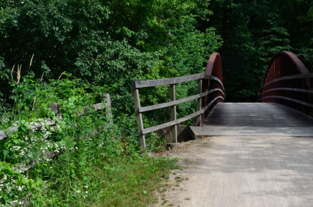
This bridge went over the Des Plaines River in a heavily wooded and kind of scenic part of the trail.
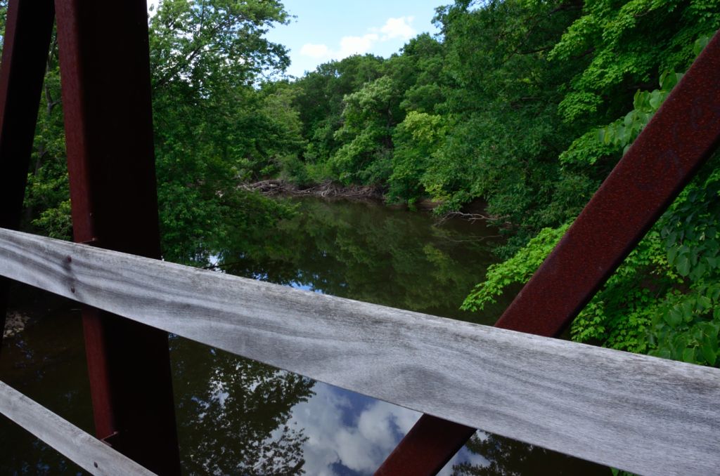
This is looking at the Des Plaines River from the bridge.
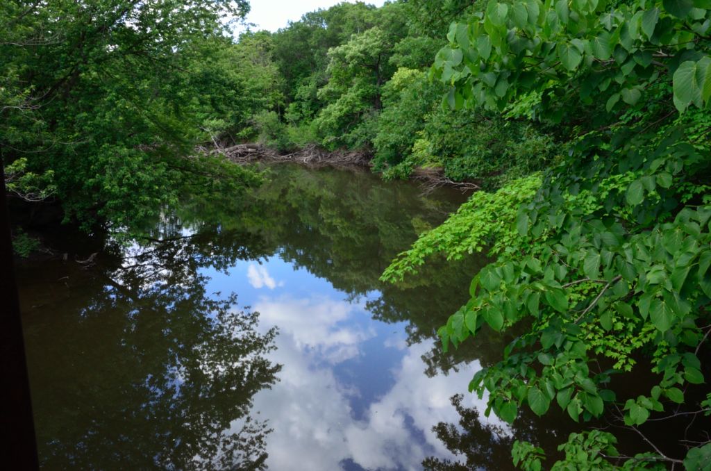
The Sky in the River.
The Des Plains River, with it's green border and a clear reflection of the blue sky above as seen from the bridge.
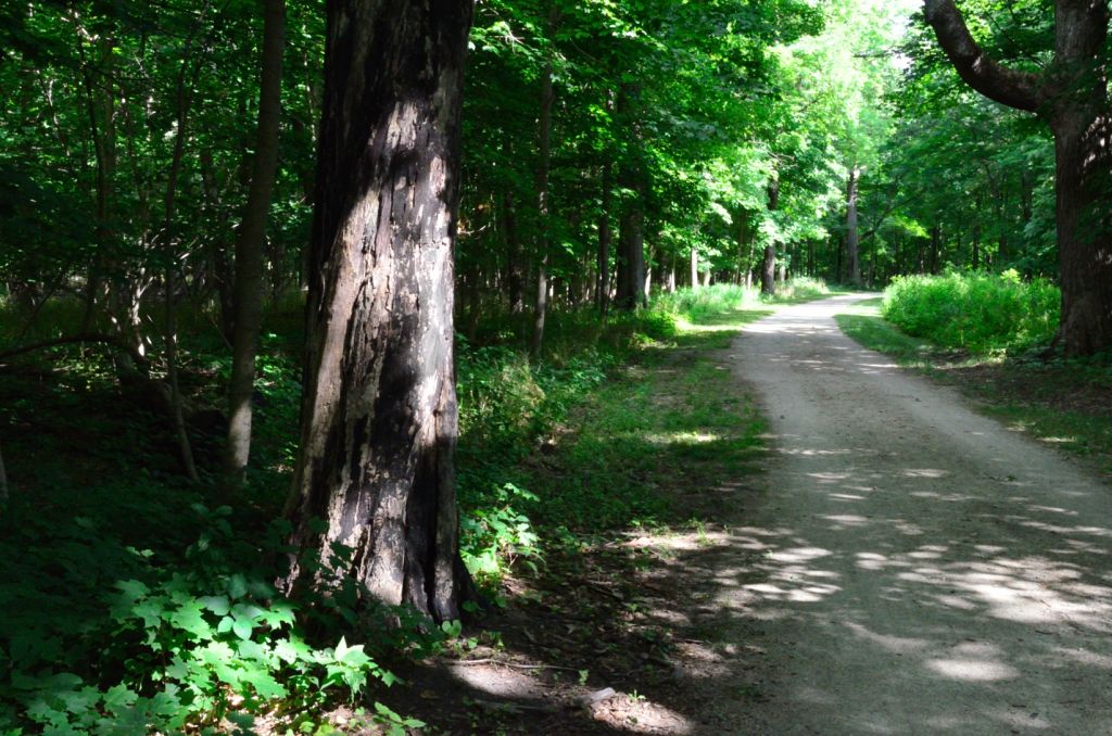
Just before Lake Cook Road (as we head south) is another shady and wooded part of the Des Plaines River Trail.
The photo above is as you come up to the long ramp to the bridge over Lake-Cook Road (aka County Line Road). Lake-Cook Road is the end of the Lake Country part of the DPRT but not the end of the trail.
Here's the Photo Tour of the Half Day to Old School Forest Preserve ride from August 16th, 2014. These pages include photos of the DPR Trail in this section along with some nice scenery photos (including a few HDR photos) taken from various locations on the trail.
Old School Trail and MacArthur Woods - Photos 20
Route 60, Wright Woods and Half Day FP - Photos 21
Here's the GPS Map of the ride above.
Here are some Fall Photos of the DPRT from Euclid (or Lake Street) a little east of Prospect Heights south to Golf Road then back north to Milwaukee Ave (from October 9, 2012):
DPRT Fall Photos 17 - Just South of Lake Street
DPRT Fall Photos 18 - Branch to Beck Lake
DPRT Fall Photos 19 - North of Lake Street
Here's the GPS Map of the ride above.
Here's the photo tour of the Des Plaines River Trail from Higgins Road in Park Ridge north to Dundee Road in Wheeling (July, 2012).
The Des Plaines River Trail Photos 12 - Park Ridge Leg
The Des Plaines River Trail Photos 13 - Des Plaines Riverwalk Area
The Des Plaines River Trail Photos 14 - Big Bend Lake to Euclid
The Des Plaines River Trail Photos 15 - To Allgauers Restaurant
The DPRT Photos 16 - To Dam No 1, Wheeling
Here's the GPS Map of the ride above.
Here's the photo tour of the Des Plaines River Trail from Lincolnshire (Routes 21 and 22 going south) to Dundee Road in Wheeling, Il. (June, 2012).
The DPRT Photos 8 - Lincolnshire Marriott Area
The DPRT Photos 9 - Path along Milwaukee Road
The DPRT Photos 10 - Deerfield Road to Lake Cook Road < You are here
The DPRT Photos 11 - County Line Road to Wheeling
Here's the GPS Map of the ride above.
Here's the photo tour of the Des Plaines River Trail, from Route 22 in Half Day (going north) to Libertyville (July, 2005).
Des
Plaines River Trail Photos 4 - Lincolnshire to Wright Woods
Des
Plaines River Trail Photos 5 - Bridge Underpasses and Equestrian
Des Plaines River Trail Photos 6 - North to North Shore Path
DPRT Photos 7 - North Shore Path to Independence Grove
Here's the photo tour of the Des Plaines River Trail, from Wisconsin (going south) to Libertyville (September, 2004).
Des
Plaines River Trail Photos 1 - Van Patton Woods
Des
Plaines River Trail Photos 2 - Mile 5 South to Great America
Des
Plaines River Trail Photos 3 - Mile 11 to Adler Park in Libertyville
Note: Des Plains is a common mi s-spelling for Des Plaines (with the e near the end) so will see some references to Des Plains River Trail on these pages to help with the searches for the trail pages.
Photos © Copyright Rob Chapman, about-bicycles.com. Photos with * Copyright Dale Kiffel.
Half Day to Old School, August 2014
Fall Photos, October,2012
DPRT Photos 17
DPRT Photos 18
DPRT Photos 19
Park Ridge to Wheeling, July 2012.
DPRT Photos 12
DPRT Photos 13
DPRT Photos 14
DPRT Photos 15
DPRT Photos 16
Lincolnshire to Wheeling , June 2012
DPRT Photos 8
DPRT Photos 9
DPRT Photos 10
DPRT Photos 11
Half Day to Libertyville, July
DPRT Photos 4
DPRT Photos 5
DPRT Photos 6
DPRT Photos 7
Wisconsin to Libertyville, September, 2004
DPRT Photos 1
DPRT Photos 2
DPRT Photos 3