The Des Plaines River Trail Photos
Lincolnshire Marriott Area
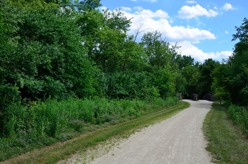
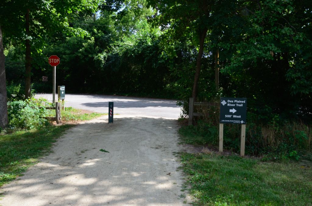
This is the double bridge just south of Route 22 ~ Half Day Road ~ in Lincolnshire where I started this ride near the intersection of route 21 (Milwaukee Ave) and route 22 (Half Day Road).
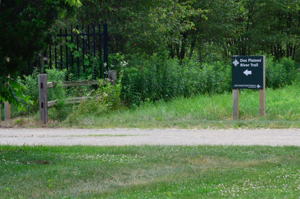
The photo above is from where you approach the Lincolnshire Marriott Resort on the Des Plaines River Trail. The trail actually runs right through the resort and you cross the small roads that lead to the parking areas. The DPRT is always near the Des Plaines RIver but in this case the river is actually on the other side (east side) of the resort.
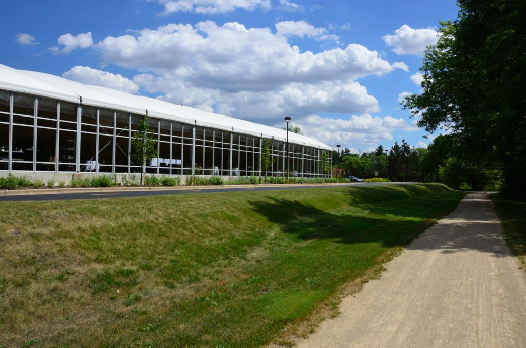
On the left is one of the Lincolnshire Marriott banquet halls. The DPRT is on the right.
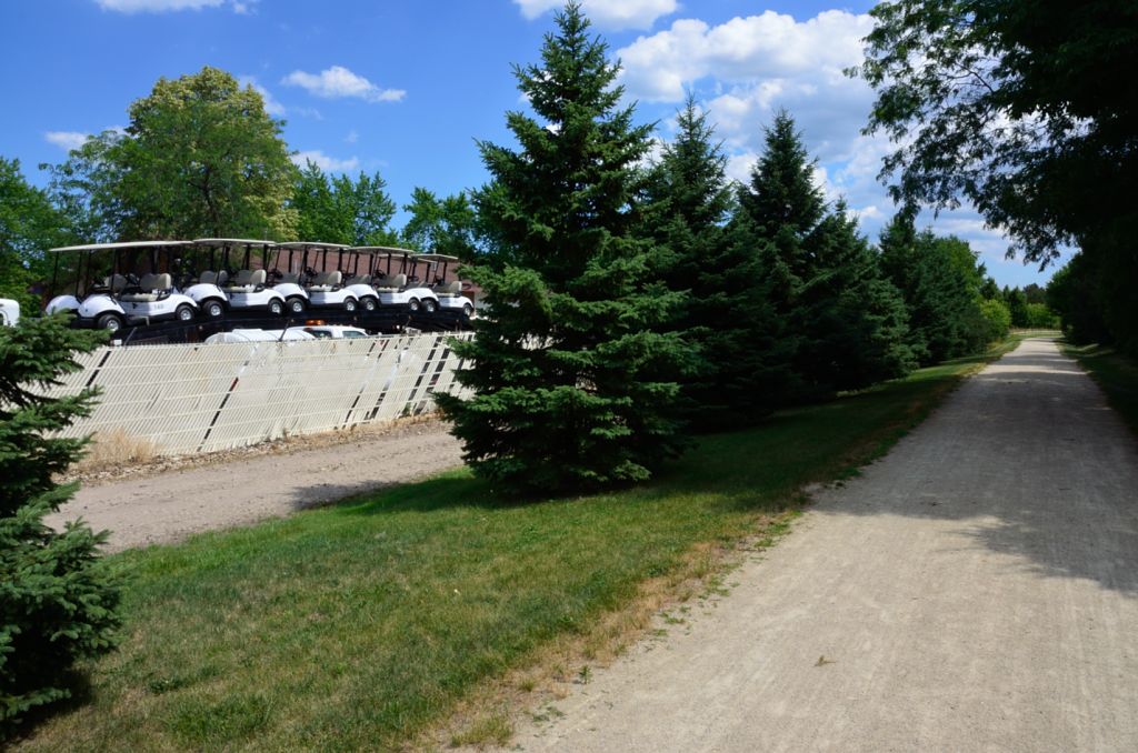
Still passing through the Lincolnshire Marriott with a truckload of golf carts on the side!
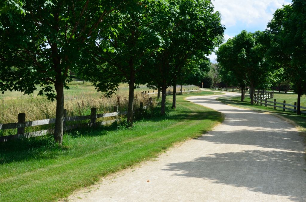
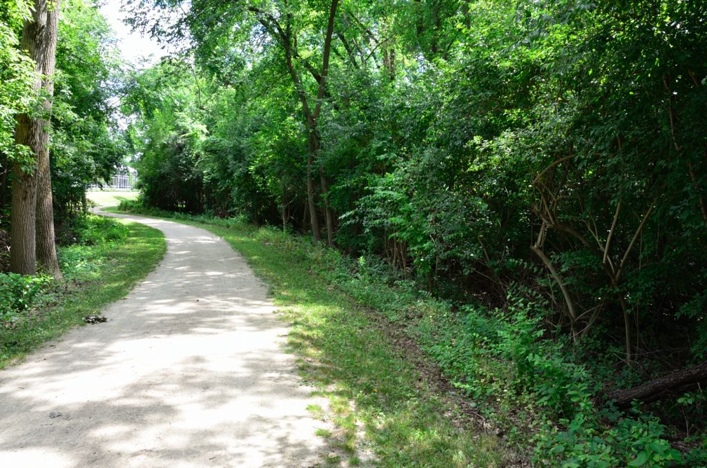
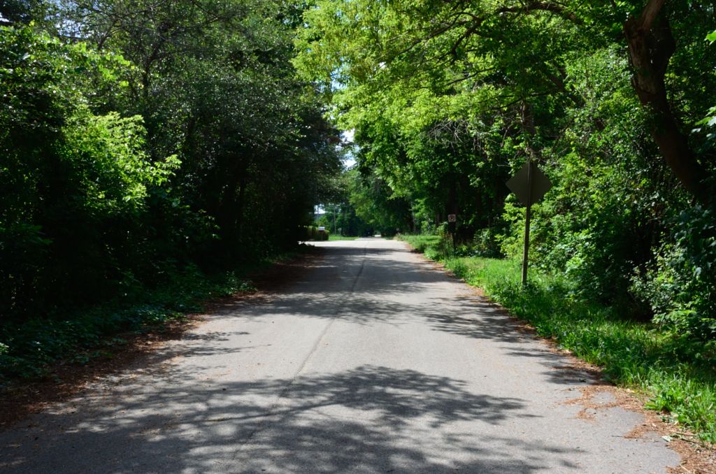
This is a nice little winding, fence lined, section of the DPRT just south of the Lincolnshire Marriott.
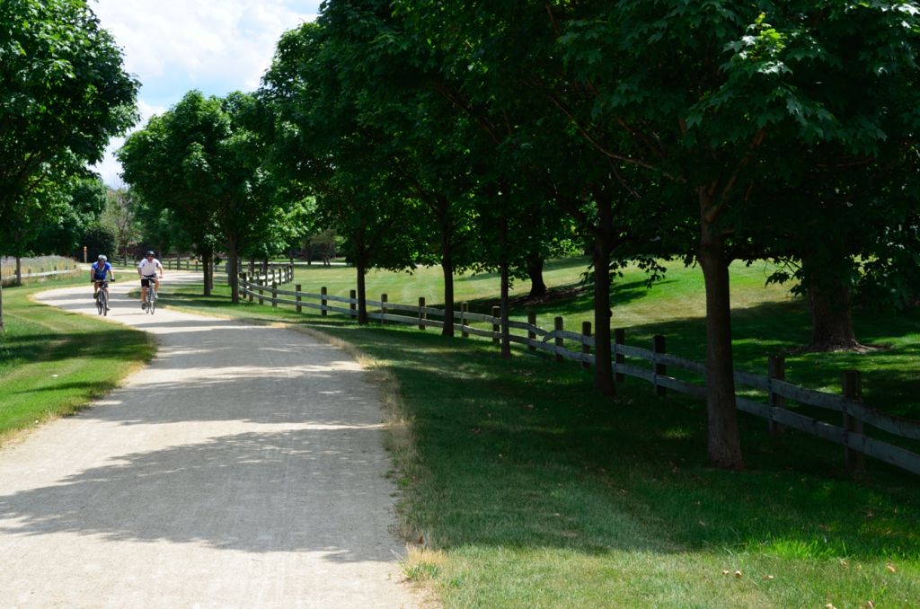
There were not many bikers out on this particular ride but there are always a few.
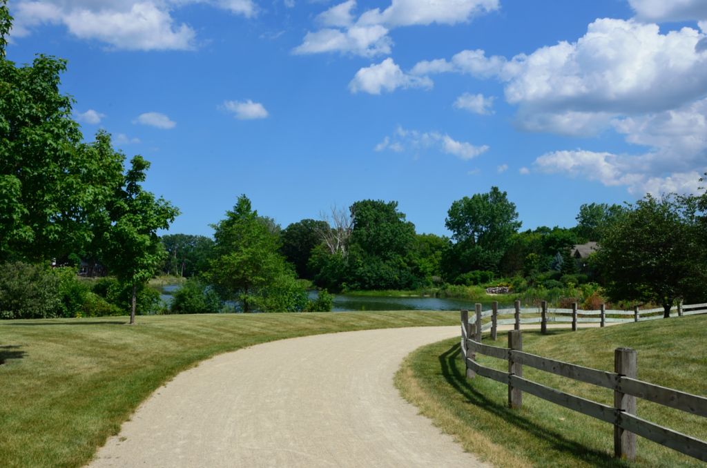
This is a very well groomed part of the trail with what looks like a small lake in the distance. In some cases the lakes along the trail are actually part of the Des Plaines River and in other cases they are independent lakes or tributaries that flow into the Des Plaines River.
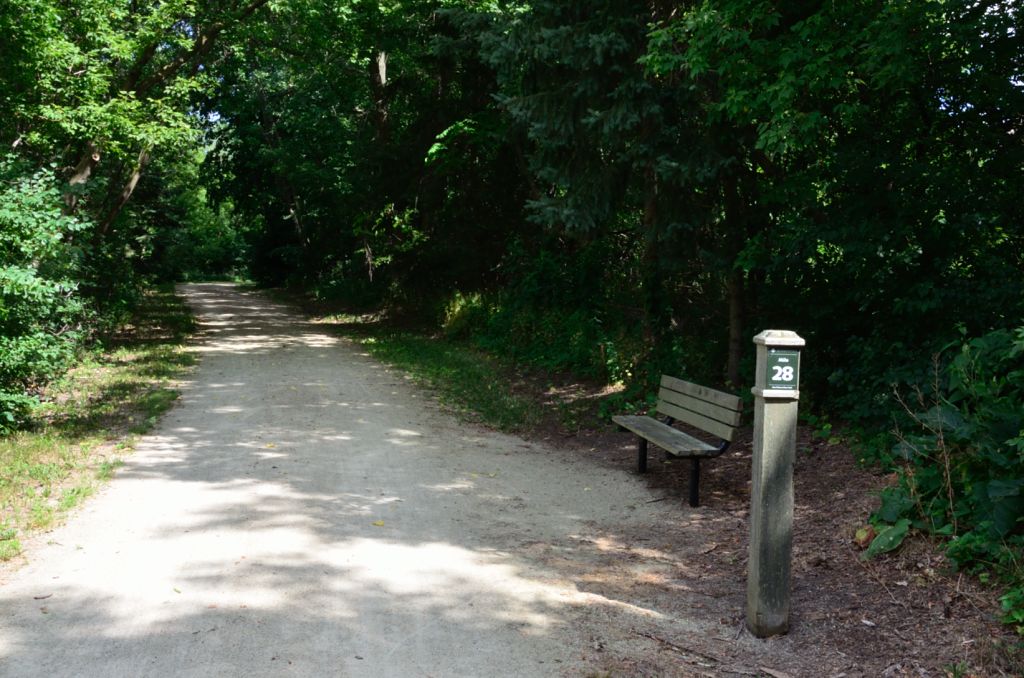
This is Mile 28, as you can see (Mile 0 is in the northern most end of the trail close to the Wisconsin border) and just before the detour.
This is where the trail used to end but now has a detour that allows you to continue south on a small paved road followed by the crushed stone trail again then out to the the small dirt path alongside busy Milwaukee Road.
For the DPRT South detour you head west on this paved drive for a short distance.
The paved road connects to this crushed stone extension to the trail that heads south once again.
Here's the Photo Tour of the Half Day to Old School Forest Preserve ride from August 16th, 2014. These pages include photos of the DPR Trail in this section along with some nice scenery photos (including a few HDR photos) taken from various locations on the trail.
Old School Trail and MacArthur Woods - Photos 20
Route 60, Wright Woods and Half Day FP - Photos 21
Here's the GPS Map of the ride above.
Here are some Fall Photos of the DPRT from Euclid (or Lake Street) a little east of Prospect Heights south to Golf Road then back north to Milwaukee Ave (from October 9, 2012):
DPRT Fall Photos 17 - Just South of Lake Street
DPRT Fall Photos 18 - Branch to Beck Lake
DPRT Fall Photos 19 - North of Lake Street
Here's the GPS Map of the ride above.
Here's the photo tour of the Des Plaines River Trail from Higgins Road in Park Ridge north to Dundee Road in Wheeling (July, 2012).
The Des Plaines River Trail Photos 12 - Park Ridge Leg
The Des Plaines River Trail Photos 13 - Des Plaines Riverwalk Area
The Des Plaines River Trail Photos 14 - Big Bend Lake to Euclid
The Des Plaines River Trail Photos 15 - To Allgauers Restaurant
The DPRT Photos 16 - To Dam No 1, Wheeling
Here's the GPS Map of the ride above.
Here's the photo tour of the Des Plaines River Trail from Lincolnshire (Routes 21 and 22 going south) to Dundee Road in Wheeling, Il. (June, 2012).
The DPRT Photos 8 - Lincolnshire Marriott Area < You are here
The DPRT Photos 9 - Path along Milwaukee Road
The DPRT Photos 10 - Deerfield Road to Lake Cook Road
The DPRT Photos 11 - County Line Road to Wheeling
Here's the GPS Map of the ride above.
Here's the photo tour of the Des Plaines River Trail, from Route 22 in Half Day (going north) to Libertyville (July, 2005).
Des
Plaines River Trail Photos 4 - Lincolnshire to Wright Woods
Des
Plaines River Trail Photos 5 - Bridge Underpasses and Equestrian
Des Plaines River Trail Photos 6 - North to North Shore Path
DPRT Photos 7 - North Shore Path to Independence Grove
Here's the photo tour of the Des Plaines River Trail, from Wisconsin (going south) to Libertyville (September, 2004).
Des
Plaines River Trail Photos 1 - Van Patton Woods
Des
Plaines River Trail Photos 2 - Mile 5 South to Great America
Des
Plaines River Trail Photos 3 - Mile 11 to Adler Park in Libertyville
Note: Des Plains is a common mi s-spelling for Des Plaines (with the e near the end) so will see some references to Des Plains River Trail on these pages to help with the searches for the trail pages.
Photos © Copyright Rob Chapman, about-bicycles.com. Photos with * Copyright Dale Kiffel.
Half Day to Old School, August 2014
Fall Photos, October,2012
DPRT Photos 17
DPRT Photos 18
DPRT Photos 19
Park Ridge to Wheeling, July 2012.
DPRT Photos 12
DPRT Photos 13
DPRT Photos 14
DPRT Photos 15
DPRT Photos 16
Lincolnshire to Wheeling , June 2012
DPRT Photos 8
DPRT Photos 9
DPRT Photos 10
DPRT Photos 11
Half Day to Libertyville, July
DPRT Photos 4
DPRT Photos 5
DPRT Photos 6
DPRT Photos 7
Wisconsin to Libertyville, September, 2004
DPRT Photos 1
DPRT Photos 2
DPRT Photos 3